Drought Early Warning Activities
Each regional drought early warning system (DEWS) focuses on improving early warning capacity for and resilience to drought in that region, including examining the role of extreme weather events and climate variability in drought.
NIDIS has developed regional drought early warning systems (DEWS) throughout the United States, where local networks of researchers, resource managers, policymakers, the private sector, academics, and other stakeholders share information and actions to help their communities cope with drought.
A DEWS coordinates this network of key regional partners so that decision makers and citizens can systematically approach drought monitoring and forecasting integration when planning and preparing for drought. Regional DEWS encourage innovation by integrating new, locally relevant drought information, and supporting the introduction and testing of technologies that detect and communicate drought risks and warnings.
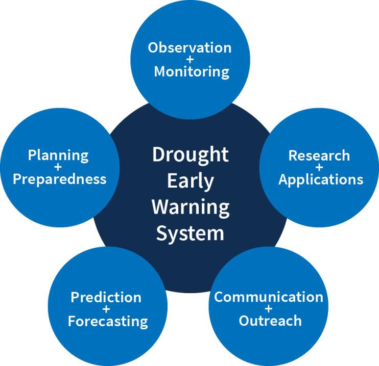
Regional DEWS activities focus on five key areas for drought early warning (DEWS components): observation and monitoring, prediction and forecasting, planning and preparedness, communication and outreach, and interdisciplinary research and applications.

Drought Early Warning Activities
The table below shows ongoing activities related to drought early warning across the United States. Each activity falls into one or more of the five key areas of drought early warning systems (DEWS components): observation and monitoring, planning and preparedness, prediction and forecasting, communication and outreach, and interdisciplinary research and applications.
This event was targeted for USDA agency staff and federal partners, including soil and water conservation districts, watershed councils, tribal nations, university extensions, and other state…
2020
2020
The Office of the Washington State Climatologist Newsletter contains information on the current state of Washington’s climate, including the current outlook and a review of notable climate and…
The USDA-NIFA funded Ogallala Water Coordinated Agriculture Project involves around 70 researchers engaged in interdisciplinary, collaborative research and outreach related to dryland,…
2016
2021
Each year the UW Climate Impacts Group and the Office of the Washington State Climatologist organize a Water Year Recap and Outlook meeting at the end of the water year. The goals of the meeting…
Oregon Climate Service houses the office of the state climatologist of Oregon, Larry O'Neill. Part of the duties of the state climatologist is to engage with, and provide expertise to, government…

