For the latest forecasts and critical weather information, visit weather.gov.
Monitoring Drought
Drought monitoring at the national, regional, and local levels is an integral part of drought early warning, planning, and mitigation.
Challenges in Monitoring Drought
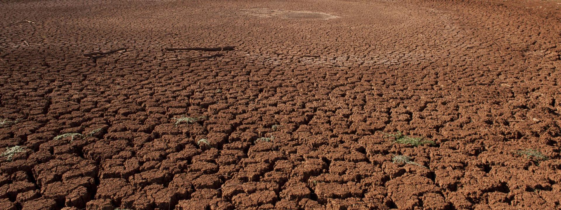
Drought is the absence of precipitation, rather than the presence of an event like a hurricane, tornado, or fire. People describe it as a “creeping phenomenon” because it slowly impacts many sectors of the economy and can last from just a few weeks or months to multiple years.
Just as drought is difficult to define, it’s also difficult to monitor—particularly to mark the beginning and end of a period of drought.
Drought’s effects also vary from region to region. Due to climatic differences, what might be considered a drought in one part of the country may not be a drought somewhere else.

The Importance of Drought Monitoring
Although some drought events (such as flash drought) can emerge relatively quickly, droughts are typically creeping, slowly emerging disasters that can be monitored over time as they develop. Monitoring indices include changes in precipitation, temperature, and surface and groundwater supplies.
The impacts of drought are extremely varied and depend on the socioeconomic environment of the community affected. Identifying the types of impacts to which a region is vulnerable is important in selecting drought indicators for a particular drought monitoring and early warning process.
Drought early warning systems track, evaluate, and share information on water supply, climate, and hydrology. Ideally, they involve both monitoring and forecasting components with an objective of providing information before and during the onset of drought, triggering actions that can reduce potential damages (Integrated Drought Management Programme).
Key Takeaways

Drought Monitoring Indicators and Indices
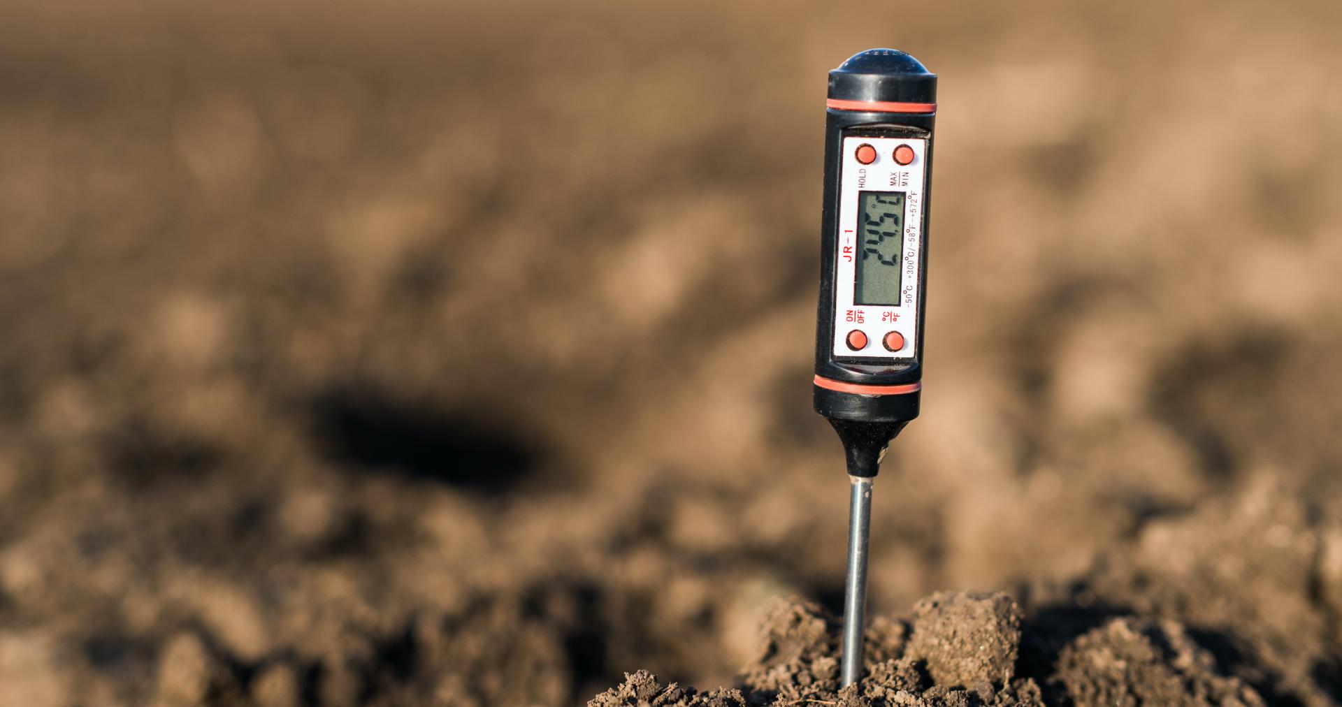
Drought is characterized by severity, the area affected, duration, and timing. Drought monitoring involves observing indicators and indices that evaluate changes in a region's hydrological cycle. Indicators, which are used to describe drought conditions, are variables such as precipitation, temperature, streamflow, ground and reservoir water levels, soil moisture, and snowpack. Indices, on the other hand, are calculated numerical representations of drought severity that use climactic or hydrometeorological data, and can include indicators such as precipitation and temperature. Indices provide quantitative measurements that describe the severity, location, timing, and duration of drought. They are essential in tracking and predicting the impact of drought, and can also provide a historical reference that planners can use to evaluate future droughts (Integrated Drought Management Programme).
The Integrated Drought Management Programme, a program of the World Meteorological Organization and the Global Water Partnership, has identified three main methods for monitoring drought to guide early warning assessment:
- Using a single indicator or index
- Using multiple indicators or indices
- Using composite or hybrid indicators.
Historically, scientists used only one indicator or index to monitor for drought because of data and time limitations. More recently, hybrid—or composite—indicators that combine different indicators or indices have become increasingly important ways to detect the onset of drought. Composite indicators are useful because drought severity is most effectively evaluated by using a variety of data on water availability for a region. Composite indicators make this possible by combining many indicators into a drought assessment.
A list of indicators and indices for drought monitoring can be found in the Handbook of Drought Indicators and Indices.
Key Takeaways
Resources
Helpful Links
Drought Monitoring
National Drought Mitigation Center
What Is the U.S. Drought Monitor?
National Drought Mitigation Center
Handbook of Drought Indicators and Indices (PDF)
Integrated Drought Management Programme
Decision Maker’s Toolbox: Monitoring Drought (Video)
NOAA | Climate.gov
Understanding Drought Outlooks (Video)
NOAA | Climate.gov
References
Content on this page excerpted and adapted from:
Handbook of Drought Indicators and Indices (PDF)
Integrated Drought Management Programme

Related Content
Data & Maps | Current Conditions
A number of drought monitoring tools are available to help people measure drought severity and determine drought impacts. These tools include maps that depict drought severity and satellite-based maps developed and used by climate professionals. View national current conditions on this page.

