Climate Maps and Data from HPRCC
High Plains Regional Climate Center (HPRCC)
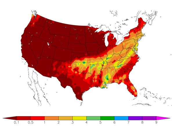
The Current Climate Summary Maps are produced daily using data from the Applied Climate Information System (ACIS). Stations used are from the National Weather Service Cooperative Observer Network (COOP), and the Automated Weather Data Network (AWDN). All near-real-time data are considered preliminary and should be used responsibly. Normal refers to the 1981-2010 Climate Normal for the selected product.
Products include: Precipitation, Departure from Normal Precipitation, Percent of Normal Precipitation, Standardized Precipitation Index (SPI), Temperature, Departure from Temperature, Cooling Degree Days (CDD), Departure from Normal CDD, Heating Degree Days (HDD), and Departure from Normal HDD
The data used to create the maps is available for download in the GIS Shapefile format.
How to
How to use this site:
- Select a product from the drop-down menu. Maps will automatically update with any changes
- Other options include:
- Select a timescale
- Select latest month/season/year
- View archived maps
- Select by region
- Select map style (shaded or dot)
- Select “Link to Image Here” to enlarge/save image or to obtain a link to the image


