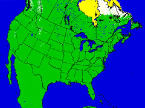
Snow Cover Maps
U.S. National Ice Center (NIC)
The U.S. National Ice Center—a multi-agency center operated by the United States Navy, the National Oceanic and Atmospheric Administration, and the United States Coast Guard—provides snow maps produced using the Interactive Multisensor Snow and Ice Mapping System (IMS) depicting the extent of daily snow and ice coverage in the Northern Hemisphere.
How to
How to use this site:
- Navigate to the desired product and download the map


