U.S. flag

An official website of the United States government

DATA & MAPS

Select categories to browse data

Looking to Download Data? The Drought.gov team reformats data from multiple partners into web- and GIS-ready formats, which we use throughout Drought.gov. These data are free for all to download.
Search Results(30)

The Keetch-Byram Drought Index (KBDI) assesses the likelihood of wildfires becoming large and difficult to contain by representing the net effect of evapotranspiration and precipitation in pr

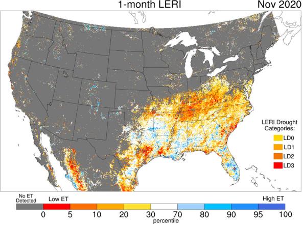
The Landscape Evaporative Response Index (LERI) is an experimental drought monitoring and early warning guidance tool that measures the anomaly in the actual evapotranspiration (ETa) from the

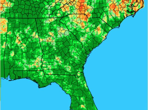
The Lawn and Garden Moisture Index measures the capacity of current soil moisture to sustain healthy lawns and gardens in the Southeast U.S. 

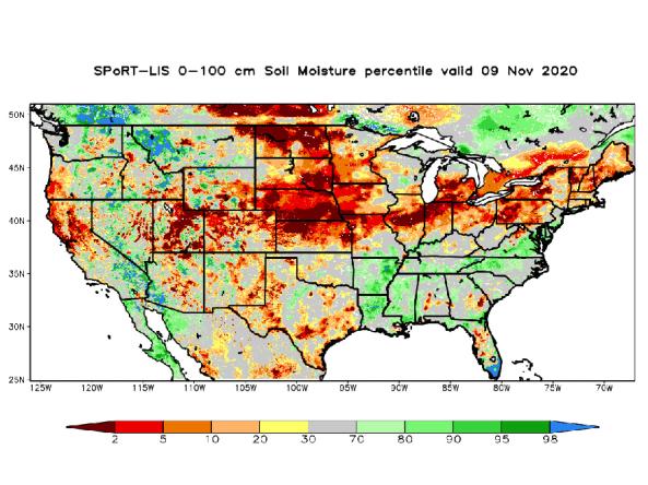
NASA’s Short-term Prediction and Transition Center – Land Information System (SPoRT-LIS) provides high-resolution (about 3-km) gridded soil moisture products in real-time to support regional and lo