U.S. flag

An official website of the United States government

DATA & MAPS

Select categories to browse data

Looking to Download Data? The Drought.gov team reformats data from multiple partners into web- and GIS-ready formats, which we use throughout Drought.gov. These data are free for all to download.
Search Results(190)

Reservoir storage "teacup" diagrams for U.S. Bureau of Reclamation dams in the Pacific Northwest region. 

Maps displaying counties declared primary (red) or contiguous (orange) disaster counties by the Secretary of Agriculture.

The USDA Risk Management Agency's Map Viewer shows insurance program availability for the selected livestock program and year. 

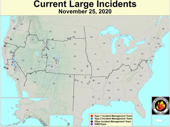
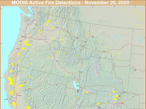
The USFS Active Fire Mapping Program is an operational, satellite-based fire detection and monitoring program that provides near real-time detection and characterization of wildland fire conditions