U.S. flag

An official website of the United States government

DATA & MAPS

Select categories to browse data

Looking to Download Data? The Drought.gov team reformats data from multiple partners into web- and GIS-ready formats, which we use throughout Drought.gov. These data are free for all to download.
Search Results(190)

NLDAS Drought Monitor Products: an experimental drought monitor derived from near real-time soil moisture output from both the NASA MOSAIC and NCEP Noah land surface models.


The Northeast Drought Early Warning System (DEWS) Dashboard, hosted by the Northeast Regional Climate Center, displays current drought status, impacts, and future conditions for the North

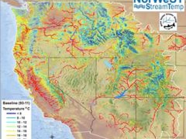
NorWeST hosts stream temperature data and climate scenarios in a variety of user-friendly digital formats for streams and rivers across the western U.S.

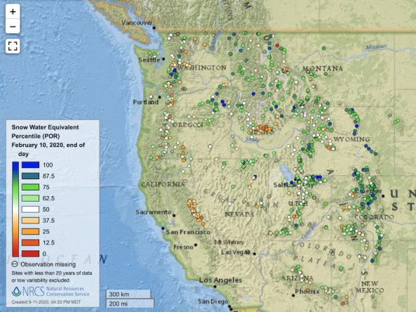
Point maps and interactive maps of snow water equivalent, snow depth, and snow density from the Natural Resources Conservation Service (NRCS) Snow Telemetry (SNOTEL).