Coastal Carolinas DEWS Now Part of Expanded Southeast DEWS
The U.S. Southeast region is increasingly experiencing record-breaking droughts that can develop rapidly. Recognizing a need to improve drought early warning across the full geographic footprint of the Southeast, and in response to requests from regional stakeholders, the National Integrated Drought Information System (NIDIS) developed a Southeast Drought Early Warning System (DEWS) in 2020.
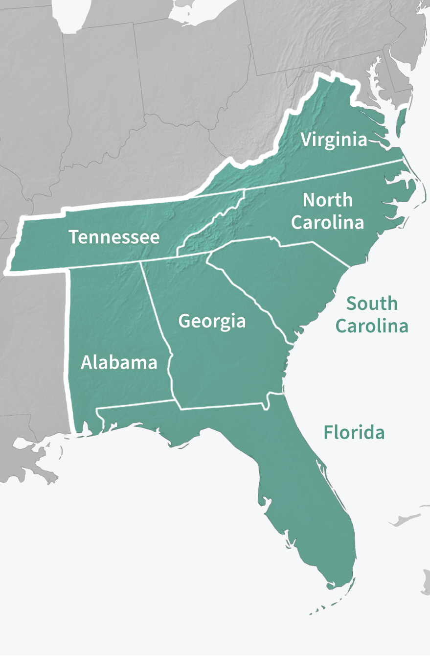
This Southeast DEWS builds on the partnerships and successes from the Apalachicola-Chattahoochee-Flint River Basin and Coastal Carolinas DEWS, while expanding to include the full geographic footprint of Florida, Alabama, Georgia, South Carolina, North Carolina, Virginia, and Tennessee.
About the Previous Coastal Carolinas DEWS
North Carolina and South Carolina experience considerable climate variability, including drought, heavy precipitation, tropical storms, ice storms, and severe heat. The region experienced extreme to exceptional drought events in 1998–2002 and 2007-2009, and moderate to severe conditions from 2010–2013. These events exposed existing and emerging drought vulnerabilities that are particular to coastal regions.
The Coastal Carolinas DEWS was launched in August 2012 with a focus on ecological resources where increasing human water demands also interact with drought, stressing freshwater resources and vulnerable sectors of the economy. Many of the DEWS activities focused on improving the understanding of drought’s effects on coastal environmental resources and developing information to enhance drought monitoring and planning processes. These include impacts associated with changes to water quality conditions, such as increasing salinity levels, and the availability and timing of freshwater to support estuarine and coastal ecosystems.
Key Accomplishments of the Coastal Carolinas DEWS (2012–2020)
- Improved drought monitoring at the freshwater-saltwater interface through the development of a new Coastal Salinity Index (CSI). The CSI was developed as a way to characterize coastal drought by monitoring the freshwater-saltwater interface. The tool is intended to explore the effects of changing salinities on fresh and saltwater ecosystems, fish habitat, and freshwater availability for municipal and industrial use. For more information, visit the related research profile, Advancing the Development and Use of the Coastal Salinity Index.
- Increased drought impact reporting through Community Collaborative Rain, Hail, and Snow (CoCoRaHS) Condition Monitoring. This project was first established as a pilot under the Coastal Carolinas DEWS, and was expanded to the national scale in 2016. This Condition Monitoring effort engages with citizen scientists and the CoCoRaHS Network to promote drought impacts reporting. Project outcomes include a platform for reporting impacts, tutorials, and an interactive map. For more information, visit the related research profile, Citizen Science Condition Monitoring Project.
- Assisted coastal zone fire risk monitoring and management by expanding soil moisture monitoring in coastal North Carolina. The purpose of this project is to provide organic soil moisture data and information to aid coastal zone fire risk monitoring and management. For more information, visit the related research profile, Assess and Expand Coastal Zone Fire Risk Indicators for Fire Monitoring and Management Decisions.
- Improved understanding and information about drought impacts and risks within the broader hydroclimate context (droughts and floods). The Carolinas Precipitation Patterns & Probabilities Atlas (Atlas) provides Carolinas-focused information about extremes (drought, heavy rainfall) and normal precipitation patterns. This Atlas offers information not readily available from other sources, such as frequency and duration of both dry and wet events, and photographs, videos, graphics, and narratives of the impacts of notable drought and heavy precipitation events in the Carolinas. Visit the Atlas website.
- Improved drought communications for North Carolina decision makers. This project focuses on improving the usability of drought-relevant information for North Carolina decision makers based on needs identified by the NC Drought Management Advisory Council and constituents such as Cooperative Extension agents and public water supply system managers. For more information, visit the related research profile, Innovating Approaches to Drought Communications with North Carolina Decision Makers.
- Improved forecasting of the South Carolina Blue Crab Fishery. This research modeled the effects of current and future drought conditions on blue crab landings in South Carolina.
Looking for Resources from the Coastal Carolinas DEWS?
You can still find past documents and web resources on drought.gov. Just filter by "Coastal Carolinas" on our document archive.
For more information on the previous Coastal Carolinas DEWS or the newly expanded Southeast DEWS, please contact Meredith Muth (meredith.f.muth@noaa.gov).