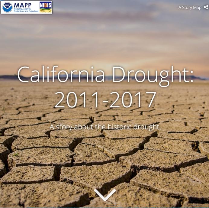
California Drought: 2011-2017 Story Map
California is no stranger to a lack of rain and dry ground. Since 1895, the state has suffered through several extended periods of dry weather, some more severe than others. Its driest three-year period was from 1974-1977, including California’s driest winter on record from 1975-1976. However, California has also been soaked with extended periods of wet weather, such as during the mid-1990s.
So how does the 2011-2017 drought fit within California’s history? This story map will address this question, as well as describe the evolution of the drought, its complex causes, and implications for the future. In addition, the story map will highlight some of the research that the NOAA Modeling, Analysis, Predictions, and Projections Program (MAPP) is supporting to better monitor, understand, and predict drought.


