Southeastern U.S. Soil Moisture Network Build-Out and Applications
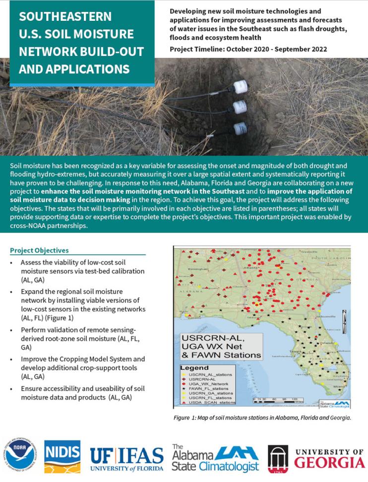
Soil moisture has been recognized as a key variable for assessing the onset and magnitude of both drought and flooding hydro-extremes, but accurately measuring it over a large spatial extent and systematically reporting it have proven to be challenging. In response to this need and with support from NIDIS, the NOAA Office of Oceanic and Atmospheric Research's Weather Program Office funded a new project to enhance the soil moisture monitoring network in Alabama, Georgia, and Florida and to improve the application of soil moisture data to decision making in the region.
The expansion of this network in the Southeast is a critical activity in the NIDIS Southeast Drought Early Warning System (DEWS), and will be included in the NIDIS-led National Coordinated Soil Moisture Monitoring Network (NCSMMN). The NCSMMN is a cross-agency, national initiative to build a shared platform for soil moisture data and decision support tools. This project supports the missions of NIDIS, the National Cooperative Observer Program, the NOAA Water Initiative, and the Weather Research and Forecasting Innovation Act.


