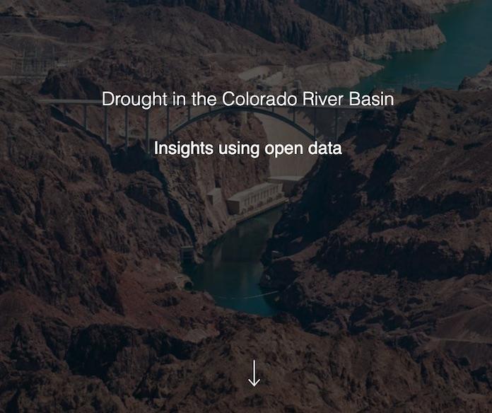
Story Map: Drought in the Colorado River Basin
Since 2000, the Colorado River basin has been experiencing a historic, extended drought that has impacted regional water supply and other resources, such as hydropower, recreation, and ecological goods and services. During this time, the Basin has experienced its lowest 16-year period of inflow in over 100 years of record keeping, and reservoir storage in the Colorado River system has declined from nearly full to about half of capacity.
Learn more about the current 16-year drought and its effects on the Colorado River basin through this story map, which was created by the U.S. Geological Survey and the U.S. Bureau of Reclamation in support of the Department of the Interior’s Open Water Data Initiative (OWDI).


