
Quarterly Climate Impacts and Outlook for the Northeast Region for March - May 2021. Dated June 2021.
The Northeast had its 15th-warmest spring at 1.3°F above normal. This spring was among the 20 warmest springs on record for 11 of the 12 Northeast states. The Northeast saw 81% of normal spring precipitation, ranking in the driest third of all years. Two states had one of their 20 driest springs on record.

Quarterly Climate Impacts and Outlook for the Great Lakes Region for March - May 2021. Dated June 2021.
Spring was up to 3°C (5°F) warmer than normal. Lake temperatures were also slightly above average this spring. All basins except Superior were drier than average every month of spring, with the overall basin seeing 68% of average precipitation in March, 81% of average in April, and 62% of average in May. Spring precipitation was 70% of average.

Quarterly Climate Impacts and Outlook for the Pacific Region for March - May 2021. Dated June 2021.
In April, the tropical Pacific transitioned from La Niña conditions to ENSO-neutral conditions with a 78% chance of ENSO-neutral conditions likely to continue through the Northern Hemisphere summer (June – August 2021).

Quarterly Climate Impacts and Outlook for the Western Region for December 2020 – February 2021. Dated March 2021.
Winter temperatures were well above normal in southern California and slightly above normal in all of Nevada, Washington, and Oregon. Near or slightly below normal temperatures were found in parts of New Mexico, Arizona, Utah, Colorado, Wyoming, Montana, and Idaho. Much of the West saw below normal precipitation throughout the winter.

Quarterly Climate Impacts and Outlook for the Great Lakes Region for December 2020 – February 2021. Dated March 2021.
Winter temperatures ranged from 1°C (2°F) below to 3°C (5°F) above normal. Winter precipitation was below average, with the basin seeing 55% of average.

Quarterly Climate Impacts and Outlook for the Midwest Region for December 2020 – February 2021. Dated March 2021.
Winter temperatures averaged to within a few degrees of normal across the region, but averaging hid the big temperature swings seen this winter. Winter precipitation was generally below normal across the Midwest.

Quarterly Climate Impacts and Outlook for the Missouri River Basin December 2020 – February 2021. Dated March 2021.
Temperatures this winter were extreme on both ends of the spectrum. Several states in the region ranked in the top 10 warmest Decembers and Januarys, while others ranked in the top 10 coldest Februarys. Although much of the region was on the dry side this winter, only North Dakota ranked in the top 10 at 3rd driest.

Quarterly Climate Impacts and Outlook for the Southern Region for December 2020 – February 2021. Dated March 2021.
Winter temperatures primarily ranged between 4°F below normal to 1°F above normal across the region. Winter precipitation varied spatially across the Southern Region, but was primarily below normal.
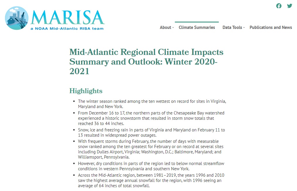
Quarterly Climate Impacts and Outlook for the Chesapeake Bay Region for December 2020 – February 2021. Dated March 2021.

Quarterly Climate Impacts and Outlook for the Northeast Region for December 2020 – February 2021. Dated March 2021.
The Northeast had its 20th-warmest winter at 1.8°F above normal and saw 104% of normal winter precipitation, ranking in the middle third of all years.