Drought Risk Atlas
The Drought Risk Atlas is a National Drought Mitigation Center (NDMC) project that is intended to provide a wide range of decision makers with historical drought information and a web-based tool to visualize and assess their risk to drought. A station-based approach lets you find the station closest to your area of interest as well as a cluster of stations that statistically have shown similar precipitation attributes. The stations with the longest and most complete period of record (a minimum of 40 years) were used to compute both the climatological and drought information to provide users with information from the best station data available, through 2017.
Why a drought atlas? With every drought, people ask, “How does this drought compare … ?”, and the comparisons are usually to the most recent drought, the drought of record for an area, or a historical drought such as the Dust Bowl that is remembered even beyond the area that it affected. Until now, the answers haven’t been readily available for individual stations, and more often than not have only been available for climate divisions. The NDMC Drought Risk Atlas will answer all of these questions and provide user-friendly access to the data. The drought atlas project also recognizes that not every drought index is ideal for every location. By providing several different indices with multiple time steps, the Drought Risk Atlas gives users a vast menu of options to study and investigate drought for their region.
NIDIS has been supporting improvements to the NDMC Drought Risk Atlas that include increasing the tool's update frequency.
For more information, please contact Meredith Muth (meredith.muth@noaa.gov).
Research Snapshot
What to expect from this research
The main output from the 2019-2020 research is an improved framework to regularly update the NDMC Drought Risk Atlas data. By having a more rapid update cycle, the Drought Risk Atlas data will remain up to date, which is valuable to stakeholders wishing to utilize the long-term records in decision-making. Ideally, the Drought Risk Atlas would become the main tool for anyone needing to develop a drought history, summarize various drought indices, or find information on how drought trends may be impacting a region.
Related Documents

Related Data & Maps
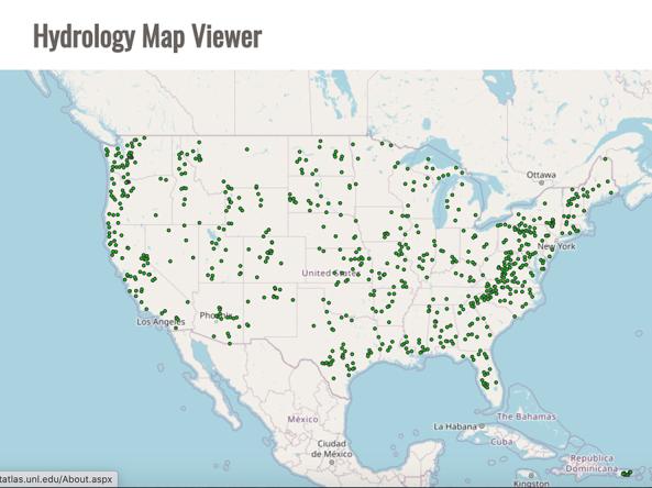
The Drought Risk Atlas provides historic data about drought through 2017 for weather stations across the United States that have at least 40 years of records.