Drought Early Warning Activities
Each regional drought early warning system (DEWS) focuses on improving early warning capacity for and resilience to drought in that region, including examining the role of extreme weather events and climate variability in drought.
NIDIS has developed regional drought early warning systems (DEWS) throughout the United States, where local networks of researchers, resource managers, policymakers, the private sector, academics, and other stakeholders share information and actions to help their communities cope with drought.
A DEWS coordinates this network of key regional partners so that decision makers and citizens can systematically approach drought monitoring and forecasting integration when planning and preparing for drought. Regional DEWS encourage innovation by integrating new, locally relevant drought information, and supporting the introduction and testing of technologies that detect and communicate drought risks and warnings.
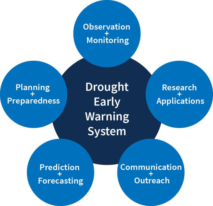
Regional DEWS activities focus on five key areas for drought early warning (DEWS components): observation and monitoring, prediction and forecasting, planning and preparedness, communication and outreach, and interdisciplinary research and applications.

Drought Early Warning Activities
The table below shows ongoing activities related to drought early warning across the United States. Each activity falls into one or more of the five key areas of drought early warning systems (DEWS components): observation and monitoring, planning and preparedness, prediction and forecasting, communication and outreach, and interdisciplinary research and applications.
Focused on the Las Cienegas National Conservation Area in partnership with the Nature Conservancy, this project examines longer-term drought impacts in a multi-use, Bureau of Land Management…
This effort involves evaluating drought monitoring indicators such as the Agricultural Reference Index for Drought (ARID) to help improve crop forecasting activities. For more information, please…
The goal of this project was to build technical capacity for conducting climate vulnerability assessments focused on the tribal water resources of four reservations—Rosebud, Pine Ridge,…
2016
2017
The purpose of the Hennepin West Mesonet is to provide emergency managers and incident commanders in east-central Minnesota with environmental information in real-time to support their critical…
Led by the Illinois State Climatologist Office, this coordination group converses weekly to discuss the conditions in Illinois with an end goal to provide recommendations for the U.S. Drought…

