Logo

Related Data & Maps
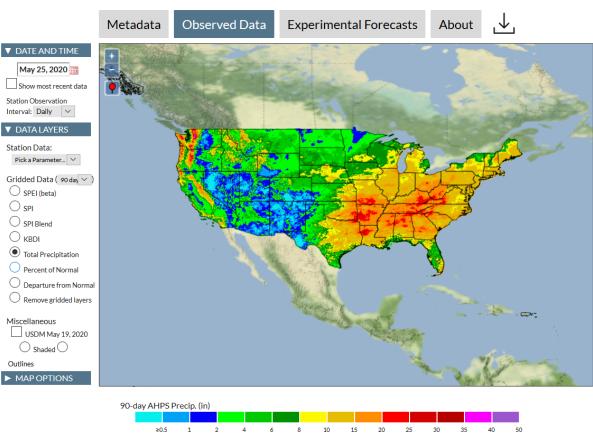
The Integrated Water Portal is a map-driven data exploration and visualization tool that brings together water data from several agencies and allows users to quickly explore regional and local wate
Period of Record
2005 - Present
File Format
images
csv
The Keetch-Byram Drought Index (KBDI) assesses the likelihood of wildfires becoming large and difficult to contain by representing the net effect of evapotranspiration and precipitation in pr
Period of Record
Current Conditions, Forecasts
File Format
images
csv
geotiff
Related Webinar Recaps
Related Drought Status Updates
December 13, 2021
Related News
Site Section
News & Events
Timely information on drought impacts is important for developing and evaluating drought indicators, documenting drought events, reducing future risks, and enhancing public awareness. To address needs for better understanding and monitoring of localized drought impacts, this study recruited volunteers from the Community Collaborative Rain, Hail and Snow (CoCoRaHS) network to report on how weather


