Community Collaborative Rain, Hail, and Snow Network (CoCoRaHS) Data
Community Collaborative Rain, Hail, and Snow Network (CoCoRaHS)
CoCoRaHS is an acronym for the Community Collaborative Rain, Hail and Snow Network. CoCoRaHS is a unique, non-profit, community-based network of volunteers of all ages and backgrounds working together to measure and map precipitation (rain, hail, and snow). By using low-cost measurement tools, stressing training and education, and utilizing an interactive website, our aim is to provide the highest quality data for natural resource, education, and research applications. We are now in all fifty states.
How to
What can I do with these data?
- View current and past precipitation related data across the United States
How do I use the site?
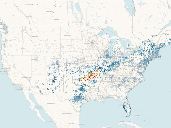
- View maps of the United States or by state
- Interactive Map: Use the tools to modify the map viewer
- View data reports/summaries using the “View Data” tab at the top of the CoCoRaHS page
Access
Community Collaboration Rain, Hail & Snow Network (CoCoRaHS): Home page for CoCoRaHS
CoCoRaHS Interactive Map: Use the interactive map to display measurements across the United States
CoCoRaHS Data: Link to view data reports