Logo

Related Data & Maps
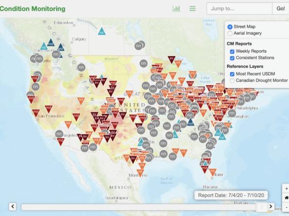
This condition monitoring map is a tool intended to depict local, community-level conditions and how recent weather and climate events have affected those communities.
Period of Record
2016 - present
File Format
csv
json
shapefile
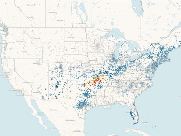
Precipitation data from CoCoRaHS: a non-profit, community-based network of volunteers of all ages and backgrounds working together to measure and map precipitation (rain, hail, and snow) acros
Period of Record
1998 - Present
File Format
pdf
other
Related Events
Jun
21
2021
Related Webinar Recaps
Related News
Site Section
News & Events
Timely information on drought impacts is important for developing and evaluating drought indicators, documenting drought events, reducing future risks, and enhancing public awareness. To address needs for better understanding and monitoring of localized drought impacts, this study recruited volunteers from the Community Collaborative Rain, Hail and Snow (CoCoRaHS) network to report on how weather
Site Section
News & Events
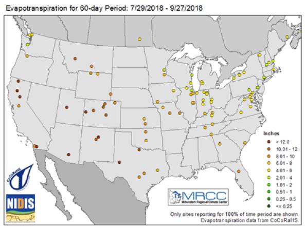
A crucial part of monitoring weather is measuring the amount of water from the atmosphere that falls to the ground as precipitation. However, it is equally important to know how much water is leaving the soil and returning to the atmosphere. Evapotranspiration (ET) measures the amount of water that evaporates from the ground back into the atmosphere - as transpiration from vegetation and as
Site Section
News & Events
On September 11, 2017, the Community Collaborative Rain, Hail, and Snow (CoCoRaHS) network is launching new materials for the national network of condition monitoring observers, who are providing on-the-ground impacts information to support drought monitoring and reporting.
As part of the NIDIS-supported Coastal Carolinas Drought Early Warning System, the Carolinas


