NOHRSC National Snow Analyses
NOAA / National Weather Service / Office of Water Prediction / National Operational Hydrologic Remote Sensing Center (NOHRSC)
The National Operational Hydrologic Remote Sensing Center (NOHRSC) provides remotely-sensed and modeled hydrology products for the coterminous U.S. and Alaska for the protection of life and property and the enhancement of the national economy.
NOHRSC airborne, satellite, and modeled snow data and products are used by the National Weather Service, other government agencies, the private sector, and the public to support operational and research hydrology programs across the nation. The NOHRSC produces snow products and information that include estimates of snow water equivalent, snow depth, snow pack temperatures, snow sublimation, snow evaporation, estimates of blowing snow, modeled and observed snow information, airborne snow data, satellite snow cover, historic snow data, and time-series for selected modeled snow products.
How to
How to use this site:
- Select a snow product to view current map
- Use the ‘Select Region and Date’ to view specific area or historical data
Access
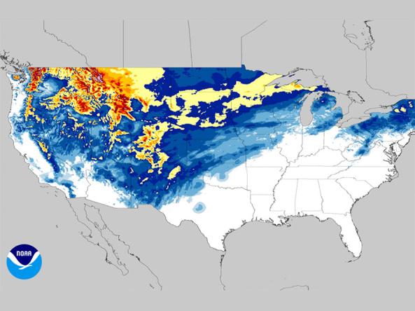
NOHRSC National Snow Analyses: Gridded snow data from the National Operational Hydrologic Remote Sensing Center (NOHRSC).
NOHRSC National Snow Probability Forecasts: Snow probability forecasts depicting the probability of snowfall reaching or exceeding 4, 8, or 12 inches in the next 24 hours to 72 hours.
NOHRSC Interactive Snow Information Map: Interactive map that displays current snow products