U.S. Climate Reference Network (USCRN) Station Data
NOAA's National Centers for Environmental Information (NCEI) and Air Resources Laboratory (ARL)
The U.S. Climate Reference Network (USCRN) is a system of climate observing stations developed by the National Oceanic and Atmospheric Administration (NOAA), with sites across the continental U.S., Alaska, and Hawaii. These stations use high-quality instruments to measure temperature, precipitation, wind speed, soil conditions, solar radiation, and more.
The vision of the USCRN program is to provide a continuous series of climate observations for monitoring trends in the nation's climate and supporting climate-impact research.
USCRN stations are managed and maintained by the Atmospheric Turbulence and Diffusion Division of the NOAA Air Resources Laboratory. NOAA’s National Centers for Environmental Information maintains and distributes the USCRN observations and derived climate products. The USCRN is also part of the multi-agency National Coordinated Soil Moisture Monitoring Network (NCSMMN).
How to
What can I do with these data?
- Selected subsets of monthly, daily, hourly and sub-hourly (5-minute) USCRN data are available as text files for easy access by users ranging from the general public to science experts.
How do I view the data?
- From the landing page, click “More Data” under “Datasets.” You will see several options for viewing USCRN data:
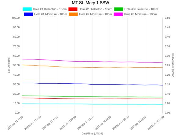
- Current Observations: Select “All Stations, “USCRN Stations Only,” or “USCRN-AL Stations Only” to see a table of those stations with current data. Filter the results by selecting a state from the dropdown, searching for a station, or clicking “Select Station from Map.” Click on a station to view more data for temperature, precipitation, wind, solar radiation, and more. Click the white buttons under each data table to view a time series graph of the data
- Reports: Click the links to view a table of all USCRN sites (past and present), monthly summaries by station, or measurements of air temperature, precipitation, wind, solar radiation, etc. for one or more sites.
- Visualizations: View time series graphs of temperature or multigraph visualizations of other USCRN variables. On the National Temperature Comparisons page, use the dropdown menus to select the parameter, time scale, and month. Use the buttons below the graph to download the data as a CSV, JSON, or XML file.
How do I download data?
- Click “Get Datasets” from the landing page.
- Select to view data at “Monthly,” “Daily,” “Hourly,” or “Sub-hourly.” You can also view data for derived products, like soil moisture climatology and drought indices.
- Use “FTP Client Access” under each section. Click “Documentation” to view documentation for the selected data.
- Data are offered by station.
Access
USCRN Current Observations: View current or past air temperature, precipitation, solar radiation, surface temperature, soil moisture soil temperature, and fractional and total available water capacity data. Data can be downloaded in different formats, including an image of a times series graph.
Locate USCRN Sites: View an interactive map of USCRN sites across the country.
Quality Controlled Data: Download select subsets of monthly, daily, hourly and sub-hourly (5-minute) USCRN data, as well as derived products.


