U.S. flag

An official website of the United States government

DATA & MAPS

Select categories to browse data

Looking to Download Data? The Drought.gov team reformats data from multiple partners into web- and GIS-ready formats, which we use throughout Drought.gov. These data are free for all to download.
Search Results(84)

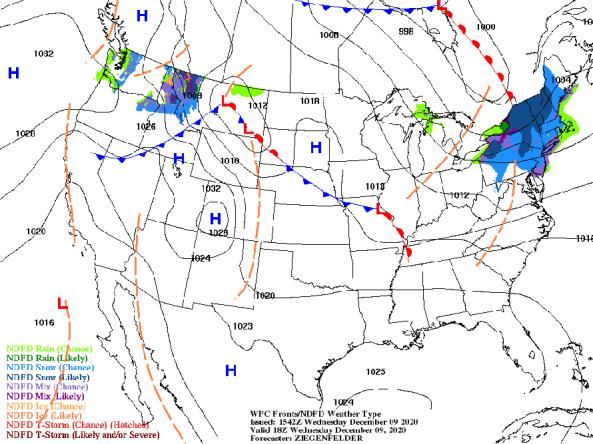
NWS provides a wide selection of forecast maps for temperature and precipitation for the next 12 hours to 6 days.

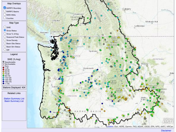
The NOAA National Weather Service River Forecast Centers each have an interactive website with a full set of real-time observations and forecasts, including snow and river conditions

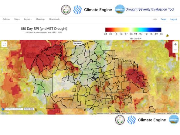
The Navajo Nation Drought Severity Evaluation Tool (DSET) is a co-developed cloud-based web application designed to meet the needs

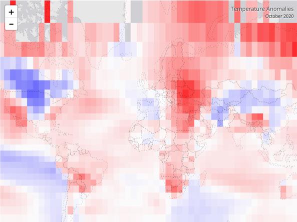
The NOAA NCEI Climate at a Glance (CAG) tool provides an analysis of monthly and annual temperatures for the globe and is intended for the study of climate variability and change.