U.S. flag

An official website of the United States government

DATA & MAPS

Select categories to browse data

Looking to Download Data? The Drought.gov team reformats data from multiple partners into web- and GIS-ready formats, which we use throughout Drought.gov. These data are free for all to download.
Search Results(84)

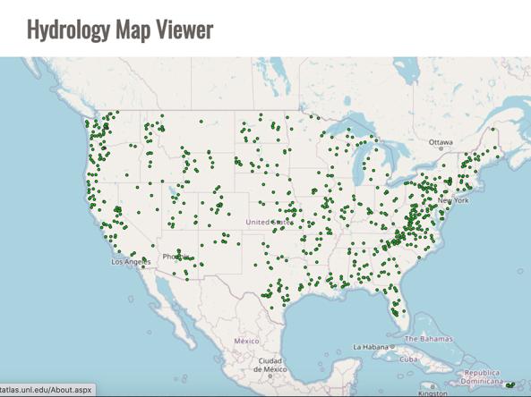
The Drought Risk Atlas provides historic data about drought through 2017 for weather stations across the United States that have at least 40 years of records.

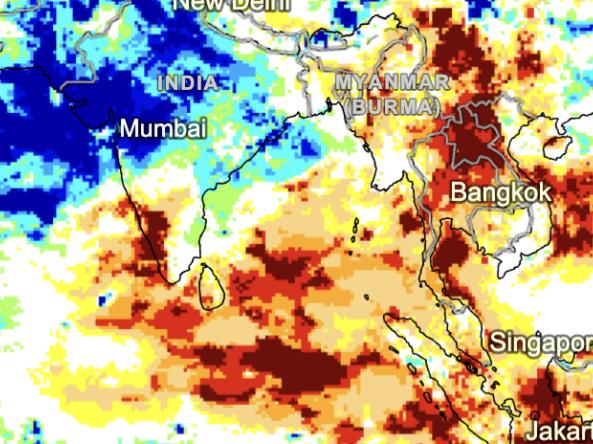
GPCC Drought Index: a standardized anomaly of precipitation and potential evapotranspiration regarding to long-term means.

GPCC Drought Index: a standardized anomaly of precipitation and potential evapotranspiration regarding to long-term means.

The NOAA Climate Prediction Center (CPC) Standardized Precipitation Index (SPI) a probabilistic index derived from North American Multi-Model Ensemble (NMME) precipitation data computed f