U.S. flag

An official website of the United States government

DATA & MAPS

Select categories to browse data

Looking to Download Data? The Drought.gov team reformats data from multiple partners into web- and GIS-ready formats, which we use throughout Drought.gov. These data are free for all to download.
Search Results(84)

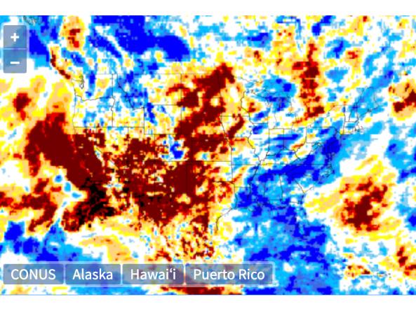
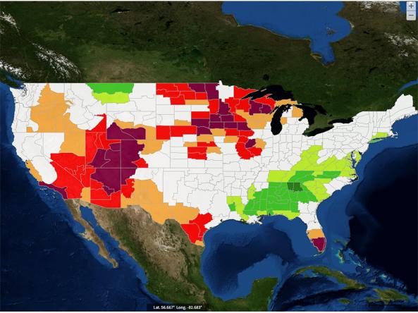
The NOAA Climate Prediction Center (CPC) Standardized Precipitation Index (SPI) a probabilistic index derived from North American Multi-Model Ensemble (NMME) precipitation data computed f

The Global Gridded Standardized Precipitation Index (SPI) is derived from the CMORPH daily dataset and includes timescales of 1, 3, 6 and 9 months.  The NOAA CMORPH precipitatio

Global Historical Climatology Network (GHCN): an integrated database of daily climate summaries from land surface stations across the globe, including a common suite of quality assurance reviews.&n

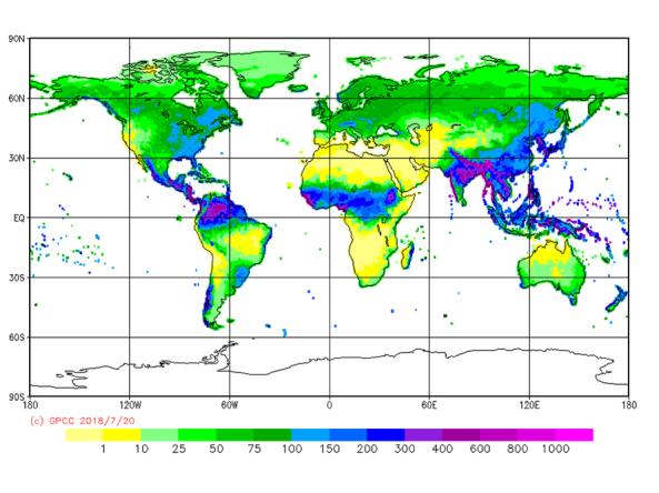
The GPCC provides unrestricted access to its monthly gridded precipitation data sets for climate monitoring purposes and related research.