U.S. flag

An official website of the United States government

DATA & MAPS

Select categories to browse data

Looking to Download Data? The Drought.gov team reformats data from multiple partners into web- and GIS-ready formats, which we use throughout Drought.gov. These data are free for all to download.
Search Results(23)

Precipitation data from CoCoRaHS: a non-profit, community-based network of volunteers of all ages and backgrounds working together to measure and map precipitation (rain, hail, and snow) acros

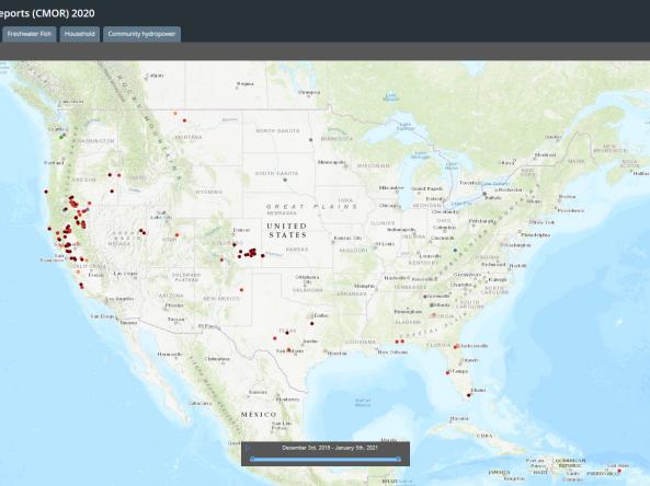
Condition Monitoring Observer Reports on Drought (CMOR-Drought) is a tool that allows citizen scientists to submit obse

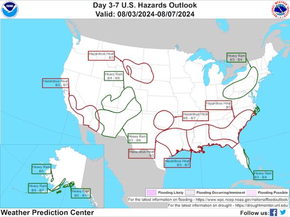
The National Weather Service Weather Prediction Center's Day 3–7 Hazards Outlook shows potential hazardous conditions related to precipitation/flooding, temperature, wildfire/winds, and soils/

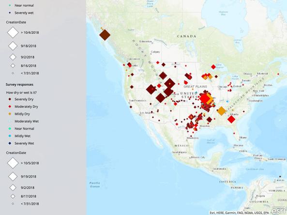
The National Drought Mitigation Center's Drought Impacts Toolkit features several key tools for monitoring and mitigating the impacts of drought, including condition monitoring observer reports, th