U.S. flag

An official website of the United States government

DATA & MAPS

Select categories to browse data

Looking to Download Data? The Drought.gov team reformats data from multiple partners into web- and GIS-ready formats, which we use throughout Drought.gov. These data are free for all to download.
Search Results(23)

The National Significant Wildland Fire Potential Outlook is intended as a decision support tool for wildland fire managers, providing an assessment of current weather and fuels condition

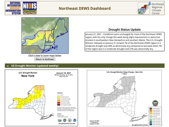
National Weather Service drought information statements provide up-to-date reports on the current drought situation for a Weather Forecast Office’s county warning and forecast area.

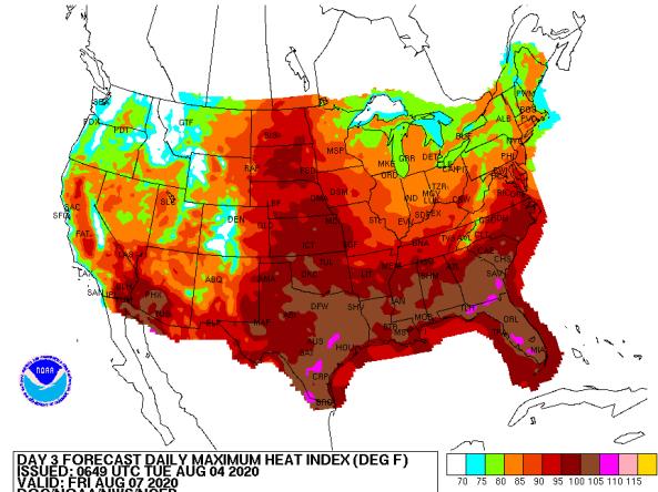
The National Weather Service (NWS) issues heat index forecasts for days 3–7, including daily maximum heat index, daily mean heat index, and daily minimum heat index forecasts.

NOAA Quarterly Climate Impacts and Outlooks Reports: two-page reports on regional climate impacts with an overview of recent and forecast conditions produced by NOAA.