U.S. flag

An official website of the United States government

DATA & MAPS

Select categories to browse data

Looking to Download Data? The Drought.gov team reformats data from multiple partners into web- and GIS-ready formats, which we use throughout Drought.gov. These data are free for all to download.
Search Results(21)

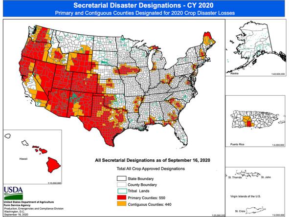
Maps displaying counties declared primary (red) or contiguous (orange) disaster counties by the Secretary of Agriculture.

The USDA Risk Management Agency's Map Viewer shows insurance program availability for the selected livestock program and year. 

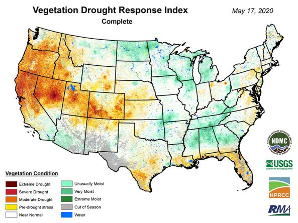
VegDRI: a weekly depiction of vegetation stress across the contiguous United States.

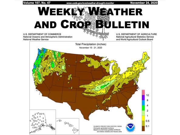
The Weekly Weather and Crop Bulletin (WWCB) provides a vital source of information on weather, climate, and agricultural developments worldwide, along with maps and charts appropriate for the seaso