An official website of the United States government
Here’s how you know
The .gov means it’s official.
Federal government websites often end in .gov or .mil. Before sharing sensitive information, make sure you’re on a federal government site.
The site is secure.
The
https://
ensures that you are connecting to the official website and that any information you provide is encrypted and transmitted securely.
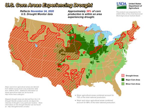
The U.S. Department of Agriculture produces weekly maps and charts displaying locations and percentages of drought-affected areas corn, soybeans, hay, cattle, and winter wheat.
The US Climate Reference Network (USCRN) is a system of NOAA climate observing stations that use high-quality instruments to measure temperature, precipitation,
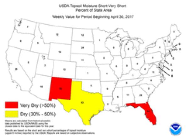
The National Weather Service Climate Prediction Center produces Topsoil Moisture Monitoring maps based on United States Department of Agriculture (USDA) state reports of topsoil moisture condi
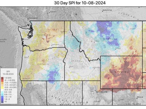
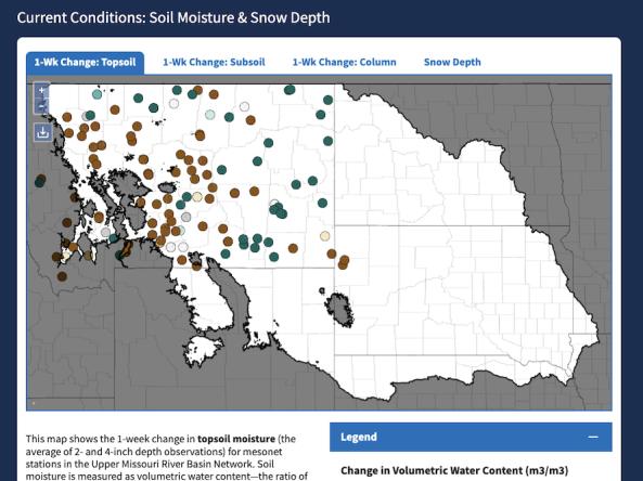
This website provides access to drought indices that are used by the Montana Governor’s Drought and Water Supply Advisory Committee (Monitoring Sub-Committee), though it covers the whole Upper