U.S. flag

An official website of the United States government

DATA & MAPS

Select categories to browse data

Looking to Download Data? The Drought.gov team reformats data from multiple partners into web- and GIS-ready formats, which we use throughout Drought.gov. These data are free for all to download.
Search Results(18)

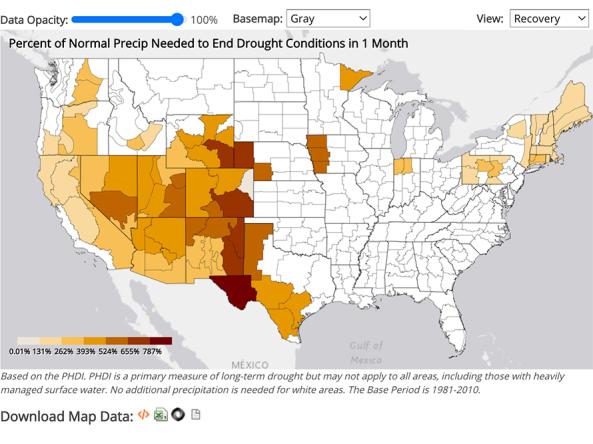
NCEI provides precipitation data that can be used to show probability or the amount of precipitation to ameliorate or end a drought at different monthly scales.

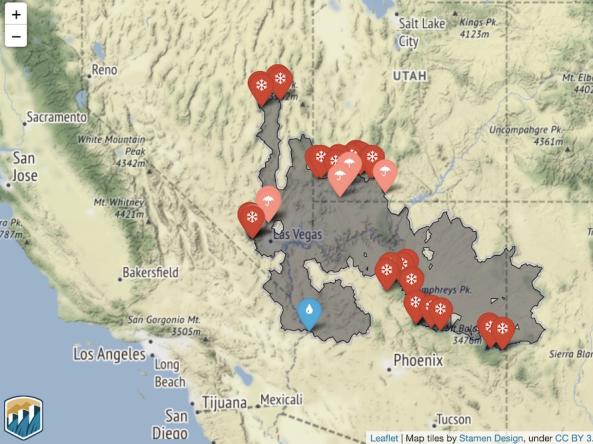
HydroData is the U.S. Bureau of Reclamation’s hydrologic database access portal.

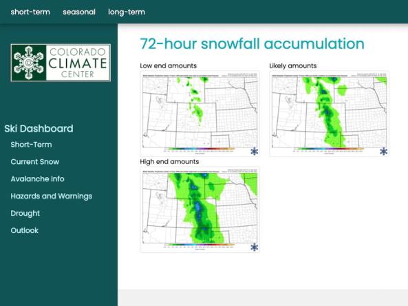
The Intermountain West Ski Dashboard was created as a resource for decision makers within the ski industry in the Intermountain West (Arizona, Colorado, New Mexi

The National Significant Wildland Fire Potential Outlook is intended as a decision support tool for wildland fire managers, providing an assessment of current weather and fuels condition