U.S. flag

An official website of the United States government

DATA & MAPS

Select categories to browse data

Looking to Download Data? The Drought.gov team reformats data from multiple partners into web- and GIS-ready formats, which we use throughout Drought.gov. These data are free for all to download.
Search Results(30)

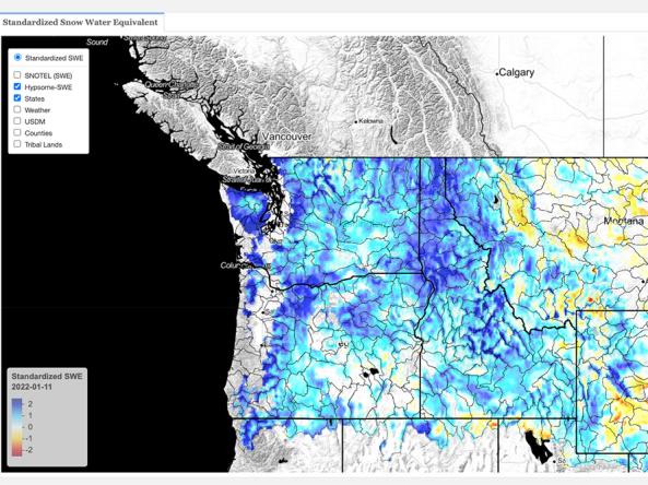
This dataset contains estimates of standardized snow pack anomalies based on the depth of snow water equivalent (SWE), from NOAA/NOHRSC's SNOw Data Assimilation System (SNODAS). 

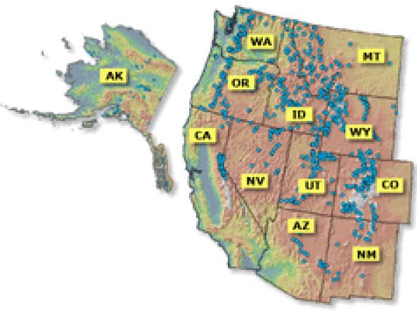
Reports and data on streamflow, forecasts, reservoir storage and other hydrologic information for the Western United States.

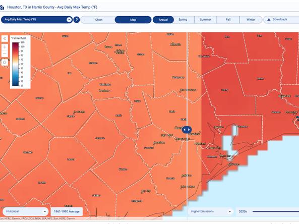
The Climate Explorer offers graphs and maps of observed and projected temperature, precipitation, and related climate variables for every county in the contiguous United States, helping people asse

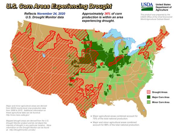
The U.S. Department of Agriculture produces weekly maps and charts displaying locations and percentages of drought-affected areas corn, soybeans, hay, cattle, and winter wheat.