U.S. flag

An official website of the United States government

DATA & MAPS

Select categories to browse data

Looking to Download Data? The Drought.gov team reformats data from multiple partners into web- and GIS-ready formats, which we use throughout Drought.gov. These data are free for all to download.
Search Results(190)

An R workspace with functions comprising a non-linear baseflow separation model, and a complete set of files to run the model in a compressed file including a script that will demonstrate how to ru

This is a developmental/forked version of code that was originally developed by NIDIS/NCEI.

NOAA's National Centers for Environmental Information (NCEI) developed Fortran code to calculate Standardized Precipitation Index (SPI) and the Palmer Drought Severity Index (PDSI).  This code

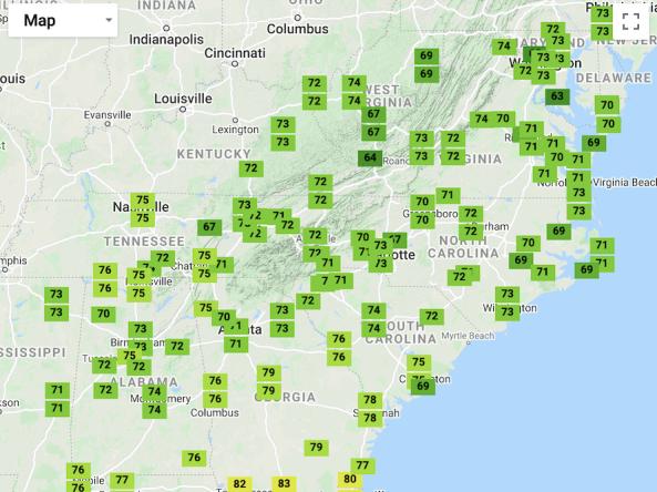
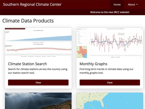
A one-stop shop tool that places recent temperature and precipitation conditions in both a historical and geographical perspective across the Southeast.