An official website of the United States government
Here’s how you know
The .gov means it’s official.
Federal government websites often end in .gov or .mil. Before sharing sensitive information, make sure you’re on a federal government site.
The site is secure.
The
https://
ensures that you are connecting to the official website and that any information you provide is encrypted and transmitted securely.
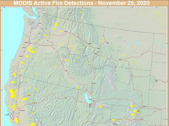
The USFS Active Fire Mapping program provides near real-time detection and characterization of wildland fire conditions in a geospatial context for the continental United States, Alaska, Hawaii and
USGS provides access to water-resources data collected at approximately 1.5 million sites in all 50 States, the District of Columbia, Puerto Rico, the Virgin Islands, Guam, American Samoa and the C
Data Coverage
United States
Period of Record
Current Conditions, Historical data (period of record varies)
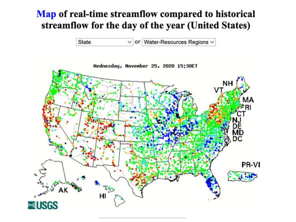
WaterWatch is a U.S. Geological Survey (USGS) World Wide Web site that displays maps, graphs, and tables describing real-time, recent, and past streamflow conditions for the United States.