U.S. flag

An official website of the United States government

DATA & MAPS

Select categories to browse data

Looking to Download Data? The Drought.gov team reformats data from multiple partners into web- and GIS-ready formats, which we use throughout Drought.gov. These data are free for all to download.
Search Results(189)

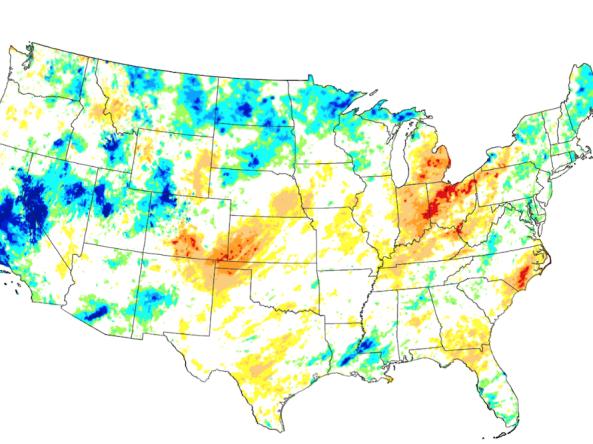
These experimental drought blends integrate several key drought monitoring products and indices into a single short-term or long-term product, based on the methodology developed at the NOAA Cl

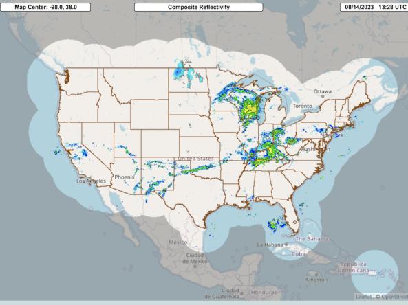
The Multi-Radar Multi-Sensor System combines data streams from multiple radars, satellites, surface observations, upper air observations, lightning reports, rain gauges, and numerical weather predi

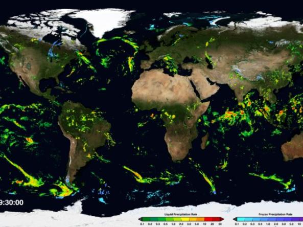
NASA GPM-IMERG: The Integrated Multi-satellitE Retrievals for GPM (IMERG) algorithm combines information from the GPM satellite constellation to estimate precipitation

NASA’s Short-term Prediction and Transition Center – Land Information System (SPoRT-LIS) provides high-resolution (about 3-km) gridded soil moisture products in real-time to support regional and lo