
Quarterly Climate Impacts and Outlook for the Southern Region for March - May 2021. Dated June 2021.
On the whole, temperatures during Spring 2021 averaged quite close to normal in the Southern Region. Spring 2021 featured more than double the normal rainfall amounts in many parts of the Gulf Coast from South Texas to Mississippi. Most of the region received above-normal precipitation.

Quarterly Climate Impacts and Outlook for the Midwest Region for March - May 2021. Dated June 2021.

Quarterly Climate Impacts and Outlook for the Missouri River Basin March - May 2021. Dated June 2021.
There were stark differences in both temperature and precipitation across the region this spring. Temperatures were, for the most part, near to below normal across much of the west and south, and near to above normal across the east. Meanwhile, heavy precipitation fell across southern areas and little to none fell across the north.
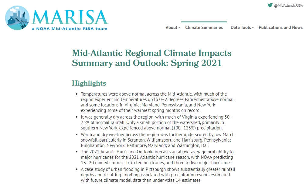
Quarterly Climate Impacts and Outlook for the Mid-Atlantic Region for March - May 2021. Dated June 2021.

Quarterly Climate Impacts and Outlook for the Western Region for March - May 2021. Dated June 2021.

The National Weather Service Central Region developed 2021 Summer Hazard Outlooks in coordination with the NOAA National Centers for Environmental Information, National Integrated Drought Information System (NIDIS), and National Water Center; U.S. Department of Agriculture; National Weather Service River Forecast Centers; and National Interagency Fire Centers' Geographic Area Coordination Centers. This outlook highlights the various Summer hazards that could occur and potential impacts across the Western U.S.

The National Weather Service Central Region developed 2021 Summer Hazard Outlooks in coordination with the NOAA National Centers for Environmental Information, National Integrated Drought Information System (NIDIS), and National Water Center; U.S. Department of Agriculture; National Weather Service River Forecast Centers; and National Interagency Fire Centers' Geographic Area Coordination Centers. This outlook highlights the various Summer hazards that could occur and potential impacts across the Northern Plains and Great Lakes region.

Quarterly Climate Impacts and Outlook for the Great Lakes Region for March - May 2021. Dated June 2021.
Spring was up to 3°C (5°F) warmer than normal. Lake temperatures were also slightly above average this spring. All basins except Superior were drier than average every month of spring, with the overall basin seeing 68% of average precipitation in March, 81% of average in April, and 62% of average in May. Spring precipitation was 70% of average.

Quarterly Climate Impacts and Outlook for the Gulf of Maine Region for March - May 2021. Dated June 2021.
Spring was up to 3°C (5°F) warmer than normal in the region. Spring precipitation ranged from 50% of normal to 150% of normal. Sea surface temperature (SST) anomalies over the entire Gulf of Maine and Bay of Fundy were strongly above normal (greater than 2°C [4°F]) for the spring season. Anomalies were only slightly weaker around Cape Cod (around 1.5°C [3°F]) and over the Scotian Shelf (around 1.0°C [2°F]).

Quarterly Climate Impacts and Outlook for the Southeast Region for March - May 2021. Dated June 2021.
Above-average mean temperatures were recorded over parts of Virginia, North Carolina and Florida. Near-average mean temperatures were recorded over the rest of the Southeast. Precipitation ranged from below normal in the eastern Carolinas and southern Florida to above normal in Alabama.