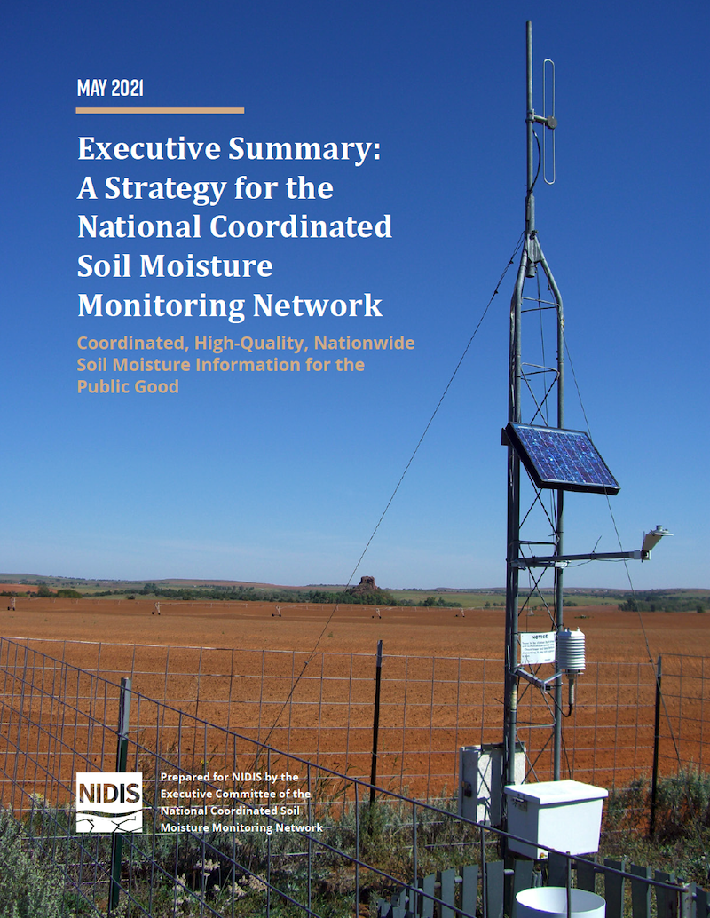
This executive summary provides a brief overview of the National Coordinated Soil Moisture Monitoring Network (NCSMMN) Strategy.
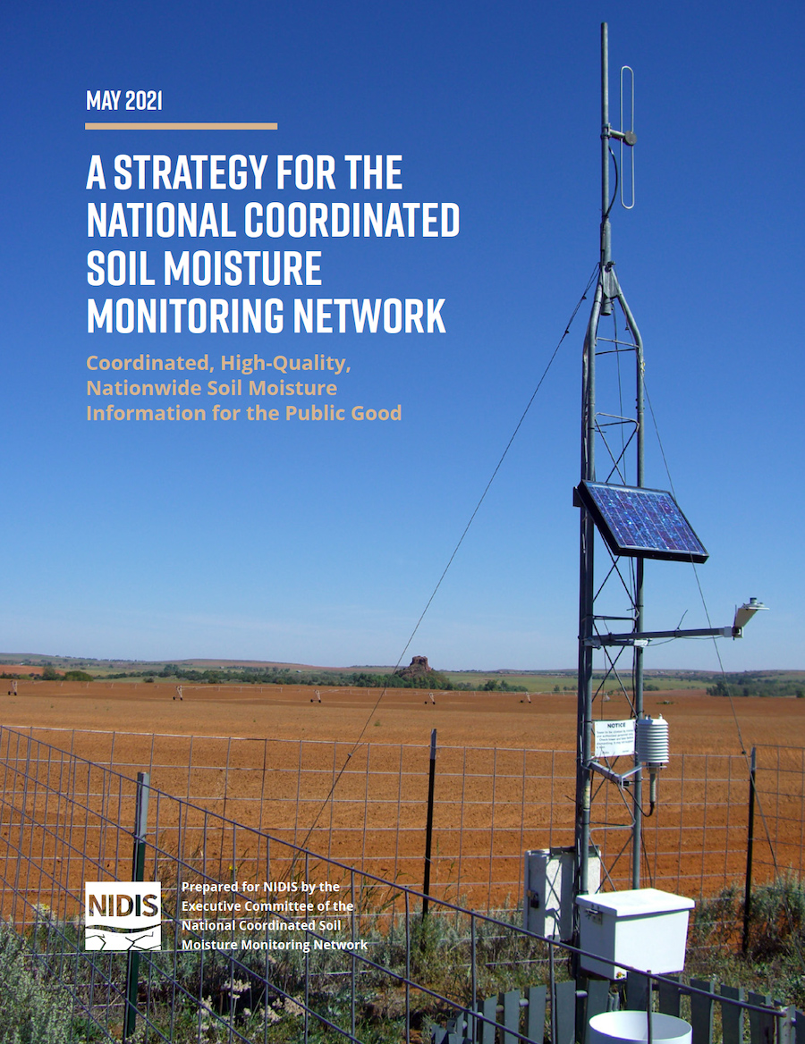
The National Coordinated Soil Moisture Monitoring Network (NCSMMN) is a collaborative effort among federal agencies, soil moisture scientists, state mesonet operators, and others to plan for and support nationally-coordinated soil moisture monitoring, data assimilation, and product development. As a key milestone of this effort, and in direct response to the requirement in the NIDIS Reauthorization Act of 2018 (P.L.
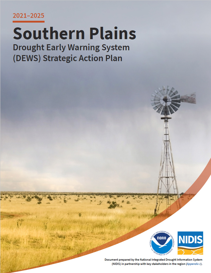
The development of the Southern Plains Drought Early Warning System (DEWS) was initiated in 2011 during a record-setting drought across the southern tier of the United States. From 2010–2015, drought persisted throughout parts of the region, impacting portions of Texas, Oklahoma, and New Mexico. This drought cost several billion dollars and was considered a major disaster for the region. Today, the Southern Plains region continues to face challenges brought about by drought and other extreme weather events that significantly affect communities and local economies.

As of May 18, 2021, 93% of the Southwest and California was in drought, with 38% of this region in Exceptional (D4) Drought, the highest level. Twelve months prior, most of the West was drought-free, but drought conditions began developing around May 2020. High temperatures and very low rainfall totals through spring and summer of 2020 set new records across the Southwest, and the combination of extremely low soil moisture leading into winter and snow drought through winter means that run-off in the spring of 2021 has been very low.
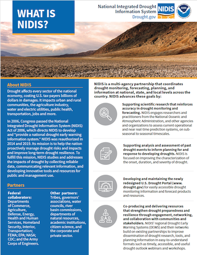
NIDIS is a multi-agency partnership that coordinates drought monitoring, forecasting, planning, and information at national, state, and local levels across the country. In 2006, Congress passed the National Integrated Drought Information System (NIDIS) Act of 2006, which directs NIDIS to develop and “provide a national drought early warning information system.”

In this EOS opinion article, NOAA Modeling, Analysis, Predictions, and Projections (MAPP) Program Drought Task Force leaders working with the National Integrated Drought Information System (NIDIS) describe the disastrous impacts of droughts, heat waves, and fires in the United States and the world. They also discuss new MAPP- and NIDIS-funded research that is tackling the challenges of a drier, hotter, more fire-prone future.

Quarterly Climate Impacts and Outlook for the Western Region for December 2020 – February 2021. Dated March 2021.
Winter temperatures were well above normal in southern California and slightly above normal in all of Nevada, Washington, and Oregon. Near or slightly below normal temperatures were found in parts of New Mexico, Arizona, Utah, Colorado, Wyoming, Montana, and Idaho. Much of the West saw below normal precipitation throughout the winter.

Quarterly Climate Impacts and Outlook for the Midwest Region for December 2020 – February 2021. Dated March 2021.
Winter temperatures averaged to within a few degrees of normal across the region, but averaging hid the big temperature swings seen this winter. Winter precipitation was generally below normal across the Midwest.

Quarterly Climate Impacts and Outlook for the Great Lakes Region for December 2020 – February 2021. Dated March 2021.
Winter temperatures ranged from 1°C (2°F) below to 3°C (5°F) above normal. Winter precipitation was below average, with the basin seeing 55% of average.

Quarterly Climate Impacts and Outlook for the Missouri River Basin December 2020 – February 2021. Dated March 2021.
Temperatures this winter were extreme on both ends of the spectrum. Several states in the region ranked in the top 10 warmest Decembers and Januarys, while others ranked in the top 10 coldest Februarys. Although much of the region was on the dry side this winter, only North Dakota ranked in the top 10 at 3rd driest.