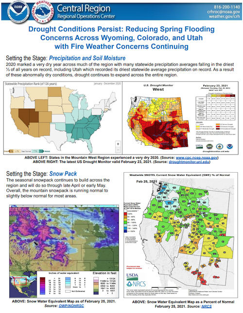
The National Weather Service developed 2021 Spring Hazard Outlooks in coordination with the National Centers for Environmental Information, National Integrated Drought Information System (NIDIS), U.S. Department of Agriculture, National Weather Service River Forecast Centers, and National Interagency Fire Centers' Geographic Area Coordination Centers. This outlook highlights the various Spring hazards that could occur and potential impacts across the Mountain West.
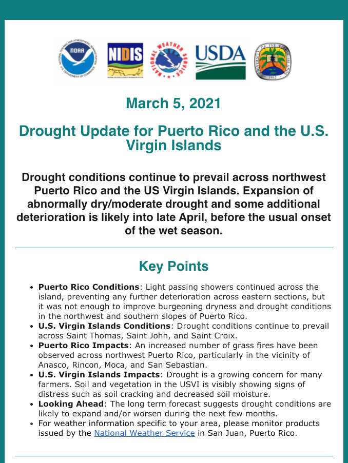
This drought update is issued in partnership between the National Integrated Drought Information System (NIDIS), National Oceanic and Atmospheric Administration (NOAA) National Weather Service, and the U.S. Department of Agriculture (USDA), and the University of the Virgin Islands. The purpose of the update is to communicate a potential area of concern for drought expansion and/or development within Puerto Rico and the U.S. Virgin Islands based on recent conditions and the upcoming three month forecast.
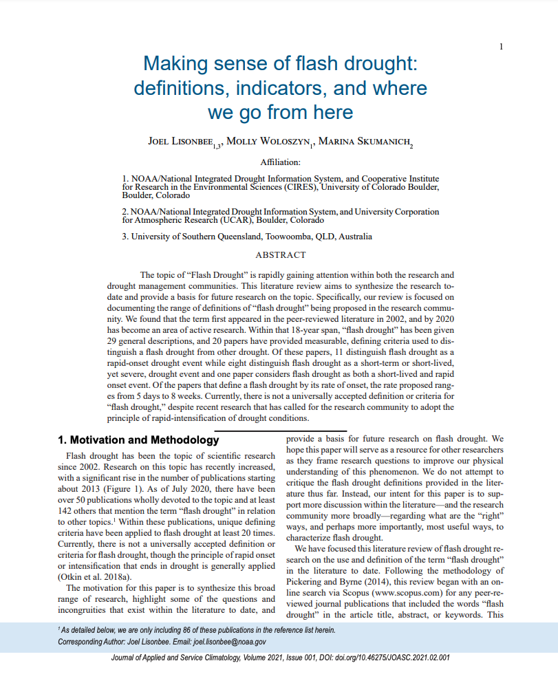
The topic of “Flash Drought” is rapidly gaining attention within both the research and drought management communities. This literature review, which was created in preparation for the National Integrated Drought Information System Flash Drought Virtual Workshop, aims to synthesize the research to date and provide a basis for future research on the topic. Specifically, this review is focused on documenting the range of definitions of “flash drought” being proposed in the research community.
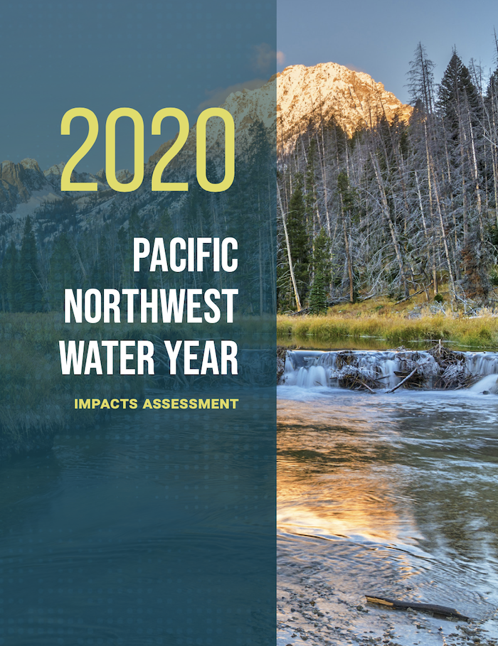
In Water Year 2020, most of Oregon experienced a significant drought with dominant impacts that included wildfires, agricultural and livestock losses, and limited outdoor recreation. Drought in Washington and Idaho was not as widespread or significant, with localized drought in a few basins in south-central Idaho and east of the Cascade Mountain crest in central Washington. Washington and Oregon also experienced major flood events in February; those impacts and others are highlighted as well.
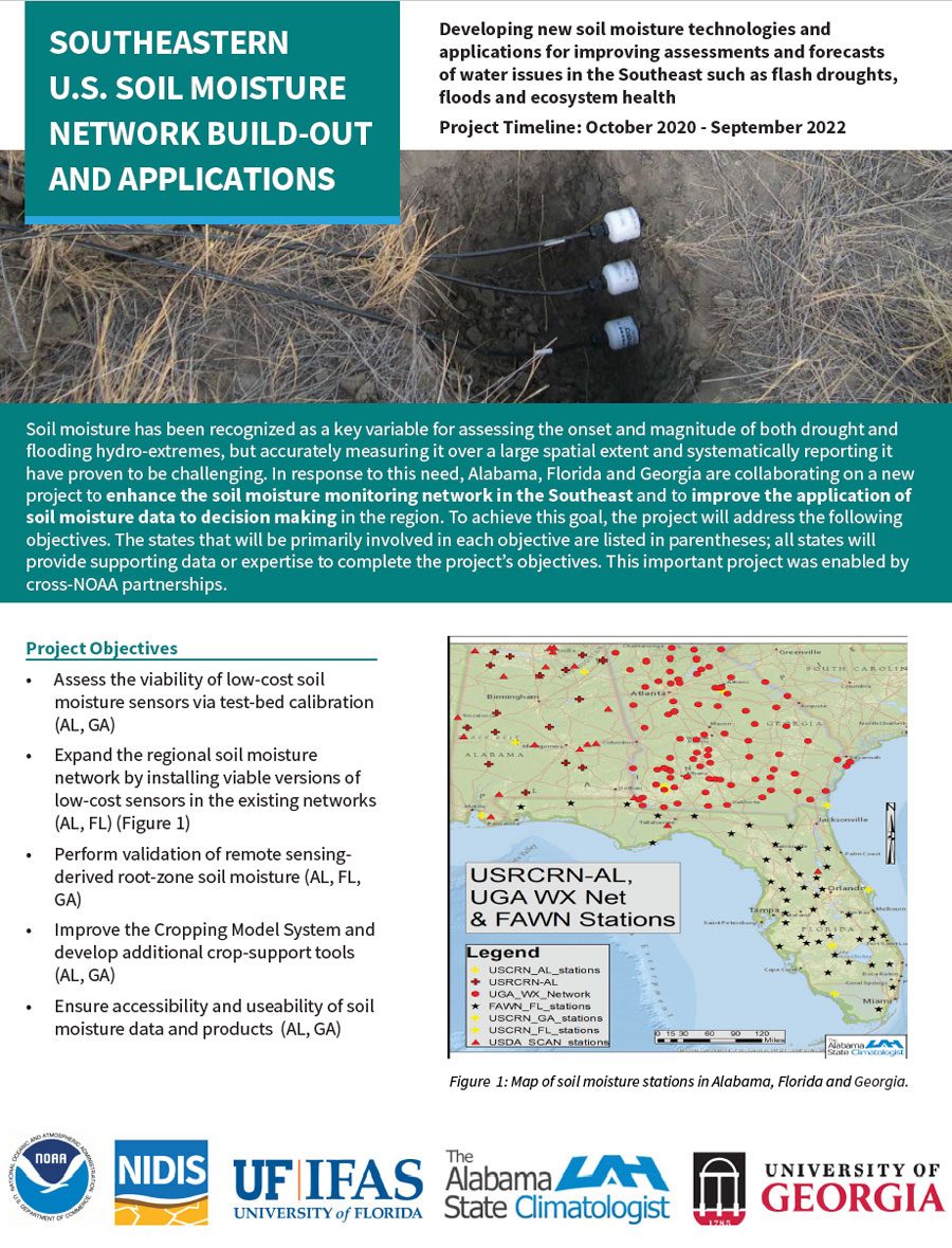
Soil moisture has been recognized as a key variable for assessing the onset and magnitude of both drought and flooding hydro-extremes, but accurately measuring it over a large spatial extent and systematically reporting it have proven to be challenging. In response to this need and with support from NIDIS, the NOAA Office of Oceanic and Atmospheric Research's Weather Program Office funded a new project to enhance the soil moisture monitoring network in Alabama, Georgia, and Florida and to improve the application of soil moisture data to decision making in the region.
This drought update is issued in partnership between the National Integrated Drought Information System (NIDIS), National Oceanic and Atmospheric Administration (NOAA) National Weather Service, and the U.S. Department of Agriculture (USDA), and the University of the Virgin Islands. The purpose of the update is to communicate a potential area of concern for drought expansion and/or development within Puerto Rico and the U.S. Virgin Islands based on recent conditions and the upcoming three month forecast.
Quarterly Climate Impacts and Outlook for the Midwest Region for September – November 2020. Dated December 2020.
Precipitation totals in the Midwest ranged from less than 50% of normal in northwestern Minnesota to more than 150% of normal in eastern Iowa. Many areas were near normal. Fall temperatures were within 2°F of normal across the Midwest. After more than 1,000 record low daily temperatures in the last half of October, the first 11 days of November saw more than 1,500 record-high daily temperatures.

Quarterly Climate Impacts and Outlook for the Great Lakes Region for September – November 2020. Dated December 2020.
While conditions were overall fairly normal throughout the fall, record-setting warmth, especially in the first half of November, was the most notable event this season. Fall precipitation was below or near average, with the basin seeing 87% of average.

Quarterly Climate Impacts and Outlook for Alaska and Northwestern Canada for September – November 2020; outlook for January – March 2021. Dated December 2020.
A strong storm moved from the northwest Bering Sea, across Chukotka and into the southwest Chukchi Sea November 5 to 7. The storm brought snow and rain to St. Lawrence Island, the Bering Strait and most of the Seward Peninsula. Heavy snow also fell over parts of Interior Alaska on November 5-7 from the same storm system.
Quarterly Climate Impacts and Outlook for the Chesapeake Bay Region for September – November 2020. Dated December 2020. https://www.midatlanticrisa.org/climate-summaries/2020/12.html