Drought Early Warning Activities
Each regional drought early warning system (DEWS) focuses on improving early warning capacity for and resilience to drought in that region, including examining the role of extreme weather events and climate variability in drought.
NIDIS has developed regional drought early warning systems (DEWS) throughout the United States, where local networks of researchers, resource managers, policymakers, the private sector, academics, and other stakeholders share information and actions to help their communities cope with drought.
A DEWS coordinates this network of key regional partners so that decision makers and citizens can systematically approach drought monitoring and forecasting integration when planning and preparing for drought. Regional DEWS encourage innovation by integrating new, locally relevant drought information, and supporting the introduction and testing of technologies that detect and communicate drought risks and warnings.
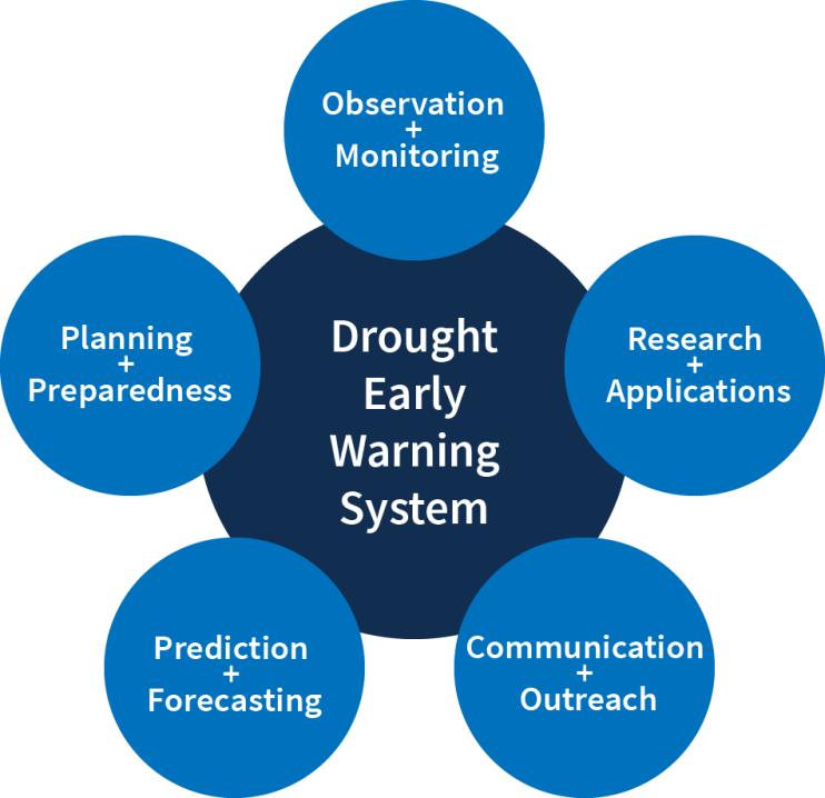
Regional DEWS activities focus on five key areas for drought early warning (DEWS components): observation and monitoring, prediction and forecasting, planning and preparedness, communication and outreach, and interdisciplinary research and applications.

Drought Early Warning Activities
The table below shows ongoing activities related to drought early warning across the United States. Each activity falls into one or more of the five key areas of drought early warning systems (DEWS components): observation and monitoring, planning and preparedness, prediction and forecasting, communication and outreach, and interdisciplinary research and applications.
The National Integrated Drought Information System (NIDIS) and the USDA Southwest Climate Hub host these regular short webinars while the region is in extreme (…
The Southwest Drought Learning Network (DLN) links climate service providers with resource managers to increase community resilience when facing current and…
Executive summary from the 2019 U.S. Forest Service report: "Most regions of the United States are projected to experience a higher frequency of severe droughts and longer dry periods as a result…
2018
2019
Motivated by the severity and rapid development of the 2017 drought, in addition to inquiries by the NOAA Central Region Climate Services Director as well as the NIDIS Reauthorization Act of…
2017
2018
The Native Village of Elim is working with its partners to develop an Temperature, Dissolved Oxygen, and Stream Flow Risk Assessment (Assessment) designed to protect aquatic habitat and…

