Logo

Site Section
Partner
Earth System Research Laboratories (ESRL)
An Agency/Organization of:
Featured Agencies/Organizations
Related Data & Maps
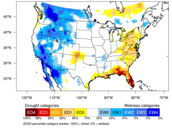
The Evaporative Demand Drought Index (EDDI) is an experimental tool that examines how anomalous the atmospheric evaporative demand (E0; also known as "the thirst of the atmosphere") is for a given
Period of Record
1980 - Present
File Format
images
text (ascii)
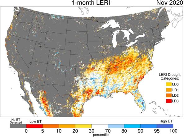
The Landscape Evaporative Response Index (LERI) is an experimental drought monitoring and early warning guidance tool that measures the anomaly in the actual evapotranspiration (ETa) from the
Period of Record
2000 - present
File Format
images
netcdf-4
Related News
Site Section
News & Events
Drought can have a significant impact on the management and operations of water utilities, from loss of water supply and poor source water quality to increased demand from customers and reduced revenues. Changing conditions in precipitation, snowpack, soil moisture, temperature, and evapotranspiration must be well monitored and better forecasted to provide water managers early warning of drought
Site Section
News & Events
The Evaporative Demand Drought Index, also known as EDDI, is an experimental drought monitoring and early warning tool that looks for drought using atmospheric evaporative demand (also known as the “thirst of the atmosphere”). So far, EDDI maps and data have been made available for near-real-time and historical monitoring; now, with the help of the NOAA-National Centers for Environmental
Site Section
News & Events
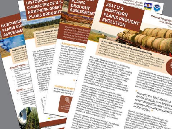
The Physical Sciences Division (PSD) of the NOAA Earth System Research Laboratory, in partnership with NIDIS, is conducting a year-long study examining the 2017 Northern Plains Drought. The study is examining the causes, evolution, and predictability of last year’s drought across much of Montana and the Dakotas, evaluating the historical behavior of droughts over this region, and determining what
Site Section
News & Events
Click Here to View the Story Map
Severe drought once again has come to Texas, bringing with it memories of the state's historic and devastating drought from 2010 to 2015. As folks wait to see what will happen during this year's drought, now is a good time to revisit a Story Map developed by NIDIS and NOAA Climate Office’s Modeling, Analysis, Predictions and Projections program (MAPP
Site Section
News & Events
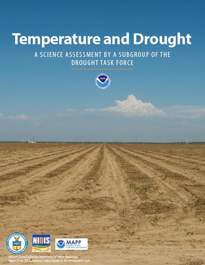
The development of drought is a complex process that involves multiple, interwoven relationships between precipitation, land surface temperatures, soil moisture, humidity, and atmospheric patterns. Often, drought is typified by the combination of a lack of precipitation and hot temperatures. However, the exact relationship between the two is not yet fully understood, nor is the role that
Related Documents
Document Date
February 2016
Document Date
April 2018
Document Date
December 2014
Document Date
April 2021


