U.S. flag

An official website of the United States government

DATA & MAPS

Select categories to browse data

Looking to Download Data? The Drought.gov team reformats data from multiple partners into web- and GIS-ready formats, which we use throughout Drought.gov. These data are free for all to download.
Search Results(84)

The Soil Climate Analysis Network (SCAN) provides soil and climate data to support natural resource assessments and conservation activities, focusing on agricultural areas of the U.S.

A one-stop shop tool that places recent temperature and precipitation conditions in both a historical and geographical perspective across the Southeast.

The Southern Regional Climate Center Dashboard provides climate data products for the Southern U.S., including Arkansas, Louisiana, Mississippi, Oklahoma, Tennessee, and Texas.

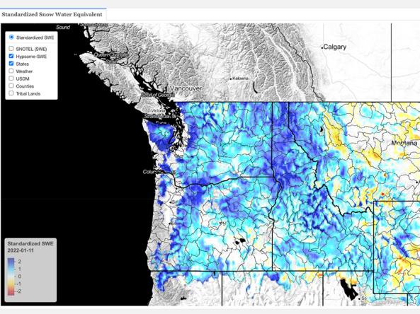
This dataset contains estimates of standardized snow pack anomalies based on the depth of snow water equivalent (SWE), from NOAA/NOHRSC's SNOw Data Assimilation System (SNODAS).