U.S. flag

An official website of the United States government

DATA & MAPS

Select categories to browse data

Looking to Download Data? The Drought.gov team reformats data from multiple partners into web- and GIS-ready formats, which we use throughout Drought.gov. These data are free for all to download.
Search Results(84)

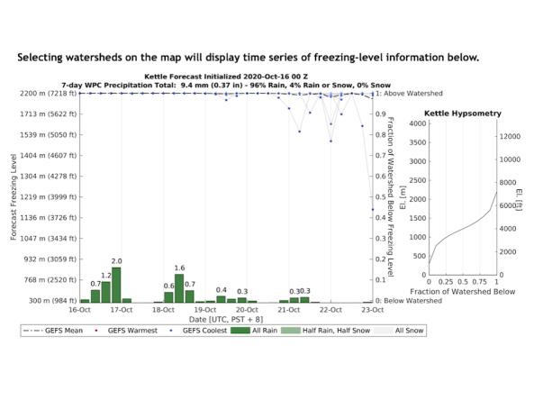
The Center for Western Weather and Water Extremes (CW3E) uses Global Ensemble Forecast System forecasts to show the evolution of the freezing level above, within, or below a watershed's terrai

Daily or monthly temperature and precipitation observations for stations across Australia.

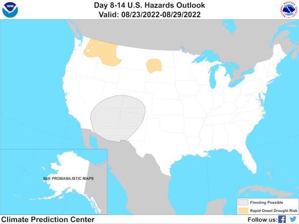
The Climate Prediction Center's Day 8–14 (Week 2) U.S. Hazards Outlook shows potential hazardous conditions related to temperature, precipitation, wind, snow, and rapid onset drought.

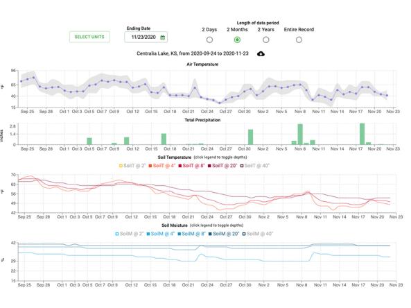
This site provides decision tools and resources using data from weather stations in the SCAN and Tribal SCAN networks. The Soil Climate Analysis Network, also known as SCAN, supports natural r