U.S. flag

An official website of the United States government

DATA & MAPS

Select categories to browse data

Looking to Download Data? The Drought.gov team reformats data from multiple partners into web- and GIS-ready formats, which we use throughout Drought.gov. These data are free for all to download.
Search Results(84)

The U.S. Drought Monitor (USDM) is a weekly map, released each Thursday, to show the location and intensity of drought across the country.

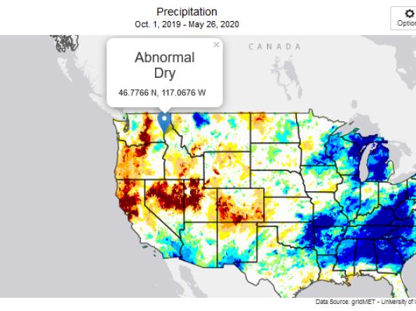
This tool, available as part of The Climate Toolbox, provides maps and summary tables of different drought types, such as agricultural and meteorological drought, for a location in the contiguous U

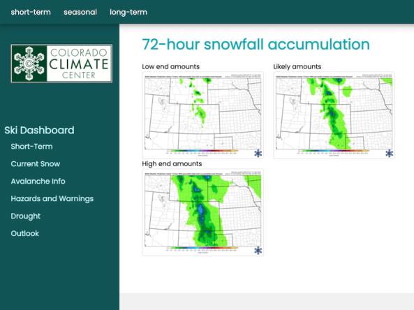
The Intermountain West Ski Dashboard was created as a resource for decision makers within the ski industry in the Intermountain West (Arizona, Colorado, New Mexi

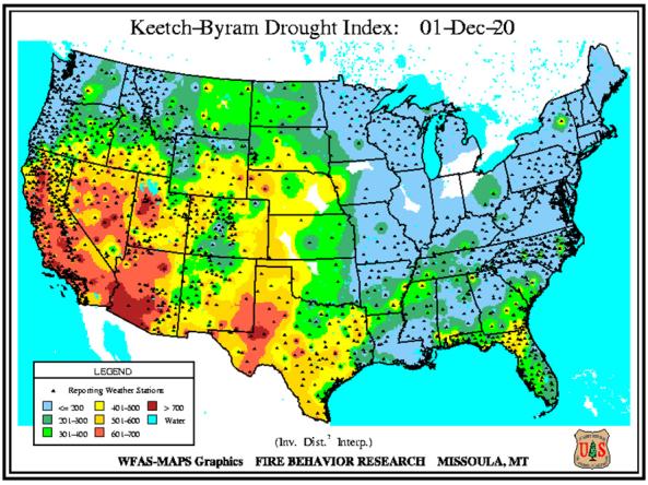
The Keetch-Byram Drought Index assesses the risk of fire by representing the net effect of evapotranspiration and precipitation in producing cumulative moisture deficiency in deep duff and upp