An official website of the United States government
Here’s how you know
The .gov means it’s official.
Federal government websites often end in .gov or .mil. Before sharing sensitive information, make sure you’re on a federal government site.
The site is secure.
The
https://
ensures that you are connecting to the official website and that any information you provide is encrypted and transmitted securely.
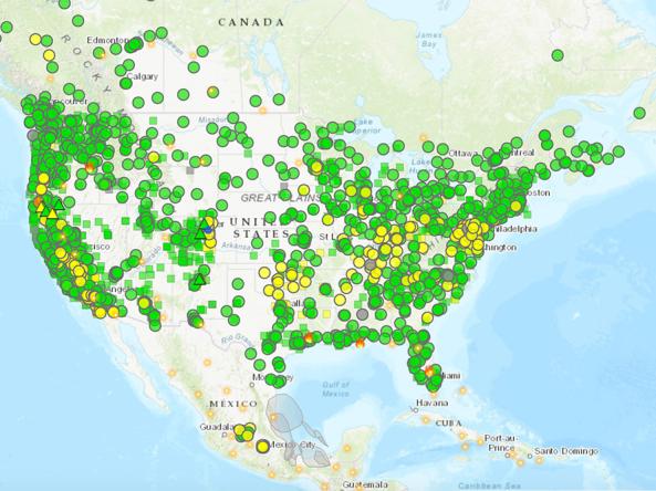
The AirNow Fire and Smoke Map is an interactive map displaying information on ground-level air quality monitors recording fine particulates (PM2.5) from smoke and other sources, as well as informat
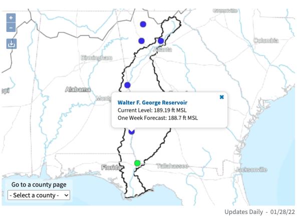
The ACF River Basin Drought and Water Dashboard is a web-based application that allows decision makers to view real-time information on the ACF River Basin all in one place.
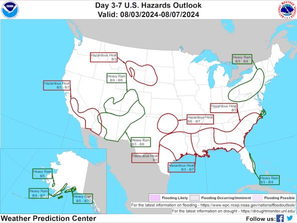
The National Weather Service Weather Prediction Center's Day 3–7 Hazards Outlook shows potential hazardous conditions related to precipitation/flooding, temperature, wildfire/winds, and soils/
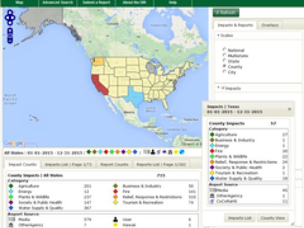
Drought Impacts Reporter (DIR): an interactive database of drought impacts in the U.S., by location, data, type, and cost built from stakeholder, government, media and other reports.