U.S. flag

An official website of the United States government

DATA & MAPS

Select categories to browse data

Looking to Download Data? The Drought.gov team reformats data from multiple partners into web- and GIS-ready formats, which we use throughout Drought.gov. These data are free for all to download.
Search Results(21)

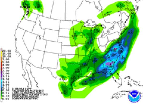
NWS WPC produces Quantitative Precipitation Forecasts (QPFs) that depict the amount of liquid precipitation expected to fall in a defined period of time.

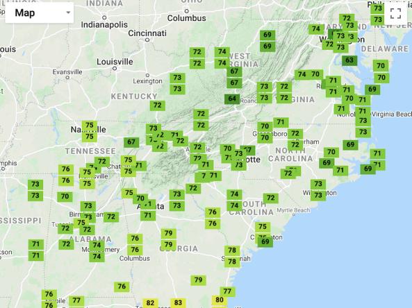
A one-stop shop tool that places recent temperature and precipitation conditions in both a historical and geographical perspective across the Southeast.

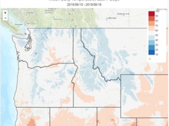
The Climate Toolbox is a collection of web tools for visualizing past and projected climate and projected climate and hydrology of the contiguous United States of America.

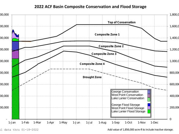
The US Army Corps of Engineers provides current, forecasted, and historical project data for the five federally operated reservoirs in the ACF River Basin.