U.S. flag

An official website of the United States government

DATA & MAPS

Select categories to browse data

Looking to Download Data? The Drought.gov team reformats data from multiple partners into web- and GIS-ready formats, which we use throughout Drought.gov. These data are free for all to download.
Search Results(190)

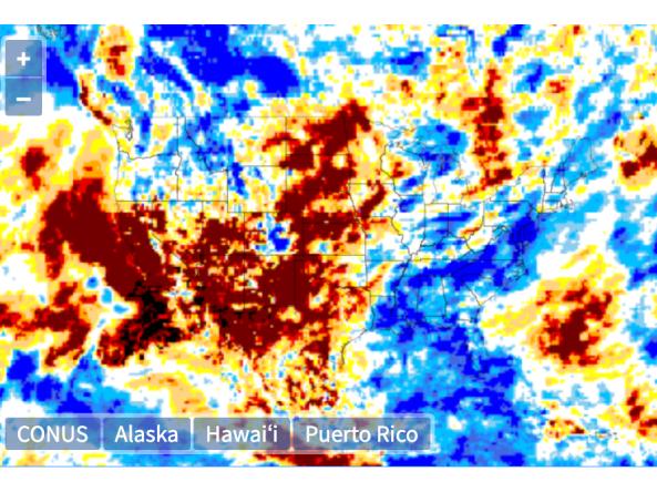
This tool, available as part of The Climate Toolbox, provides a table of future climate projections from an average of 20 global climate models under either high or low future greenhouse gas emissi

This tool, available as part of The Climate Toolbox, provides a graphical summary of seasonal climate forecasts of temperature and precipitation for the next sever months for a selected location.

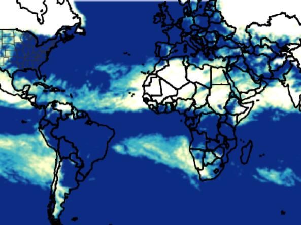
The Global Gridded Standardized Precipitation Index (SPI) is derived from the CMORPH daily dataset and includes timescales of 1, 3, 6 and 9 months.  The NOAA CMORPH precipitatio

The Global Gridded Standardized Precipitation Index (SPI) is derived from the CMORPH daily dataset and includes timescales of 1, 3, 6 and 9 months.  The NOAA CMORPH precipitatio