U.S. flag

An official website of the United States government

DATA & MAPS

Select categories to browse data

Looking to Download Data? The Drought.gov team reformats data from multiple partners into web- and GIS-ready formats, which we use throughout Drought.gov. These data are free for all to download.
Search Results(190)

The CVTEMP tool is the public interface for modeled and observed water temperature and flow data for the Sacramento River associated with Shasta Reservoir, Shasta Dam operations, and meteorological

cli-MATE is the MRCC's Application Tools Environment for accessing climate data and value-added tools.

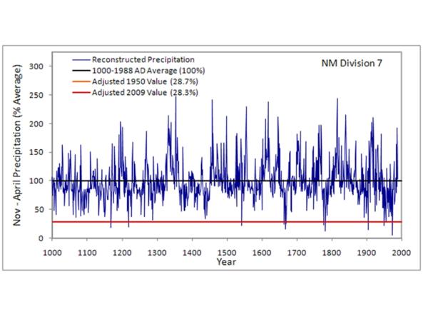
This CLIMAS Southwest Paleoclimate Tool provides detailed paleoclimate information for Arizona and New Mexico. 

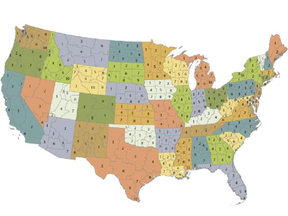
nClimDiv: temperature, precipitation, and drought index data for United States climate divisions.