Drought Early Warning Activities
Each regional drought early warning system (DEWS) focuses on improving early warning capacity for and resilience to drought in that region, including examining the role of extreme weather events and climate variability in drought.
NIDIS has developed regional drought early warning systems (DEWS) throughout the United States, where local networks of researchers, resource managers, policymakers, the private sector, academics, and other stakeholders share information and actions to help their communities cope with drought.
A DEWS coordinates this network of key regional partners so that decision makers and citizens can systematically approach drought monitoring and forecasting integration when planning and preparing for drought. Regional DEWS encourage innovation by integrating new, locally relevant drought information, and supporting the introduction and testing of technologies that detect and communicate drought risks and warnings.
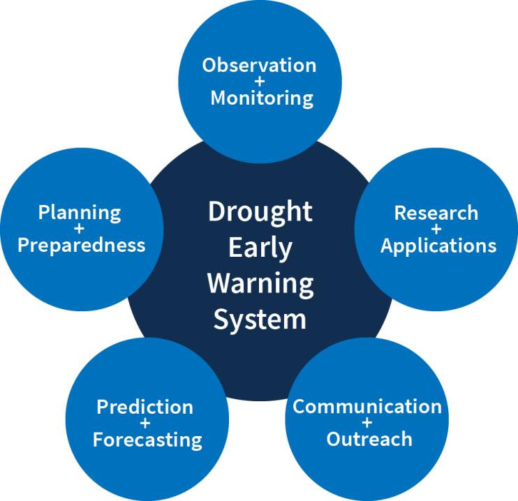
Regional DEWS activities focus on five key areas for drought early warning (DEWS components): observation and monitoring, prediction and forecasting, planning and preparedness, communication and outreach, and interdisciplinary research and applications.

Drought Early Warning Activities
The table below shows ongoing activities related to drought early warning across the United States. Each activity falls into one or more of the five key areas of drought early warning systems (DEWS components): observation and monitoring, planning and preparedness, prediction and forecasting, communication and outreach, and interdisciplinary research and applications.
That state of Montana has just launched the planning process for developing a new drought adaptation and response plan. The current plan was last updated in 1997.
Key partners include the…
2020
2023
This project focused on development and distribution of outreach educational materials on drought and human health. The Montana Health Professionals for a Healthy Climate rotated some of the…
The NASA DEVELOP team seeks to generate a Composite Moisture Index (CMI) for the Upper Missouri River Basin. This composite metric will account for various aspects of moisture abundance across the…
2021
2021
National Weather Service drought information statements provide up-to-date reports on the current drought situation for a Weather Forecast Office’s (WFO's) county warning and forecast area. These…
The Native Waters on Arid Lands (NWAL) project identifies and addresses impacts of climate change on tribal farmers and ranchers in the Great Basin, Southwest, and Northern Rockies. When the…

