Logo

Featured Agencies/Organizations
Related Data & Maps
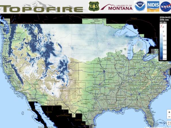
Topofire is a topographically resolved wildfire danger and drought monitoring system for the contiguous U.S.
Period of Record
1992–2021
File Format
images
netcdf-3
Related News
Site Section
News & Events
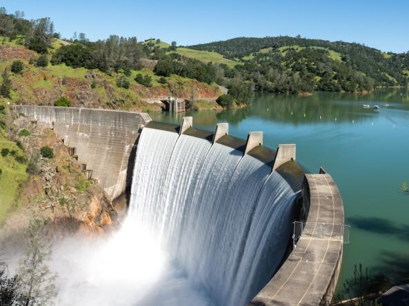
This article provides an overview of the study, Drought Characterization with GPS: Insights into Groundwater and Surface-Reservoir Storage in California, published in Water Resources Research.Drought intensity is often characterized using meteorological observations, such as precipitation, rather than hydrologic observations, such as reservoir levels and groundwater levels. While
Site Section
News & Events
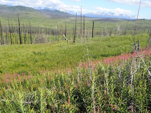
Alaska’s boreal forests are declining, as increasing drought stress and fire kill off the next generation of conifer trees. Where boreal forest has disappeared, new plant communities—like grasslands and aspen forests—have begun to take its place. Elsewhere, in the southeastern United States, droughts have decimated saltmarsh vegetation, turning saltmarshes into mudflats or open
Site Section
News & Events
NOAA’s National Integrated Drought Information System (NIDIS) has announced a total annual award of $6.2 million to support 12 new, innovative, and impactful projects that will improve our nation’s resilience at a critical time in the fight against the drought crisis. The projects will focus on ecological drought and building tribal drought resilience.
NIDIS is funding seven new 2-year
Site Section
News & Events
By Zachary H. Hoylman, R. Kyle Bocinsky, and Kelsey G. Jencso, Montana Climate Office at the University of Montana.
This article summarizes the study, Drought assessment has been outpaced by climate change: empirical arguments for a paradigm shift, published in Nature Communications.
Click on this video for a short presentation on this work.
Key Findings
Climate change shifts the
Related Documents
Document Date
June 2024
Document Date
May 2023
Document Date
January 2023
Related Research


