U.S. flag

An official website of the United States government

DATA & MAPS

Select categories to browse data

Looking to Download Data? The Drought.gov team reformats data from multiple partners into web- and GIS-ready formats, which we use throughout Drought.gov. These data are free for all to download.
Search Results(84)

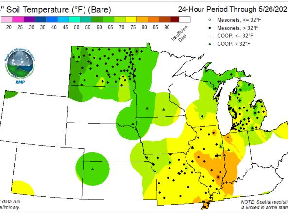
The Regional Mesonet Program (RMP) produces Soil Temperature maps at 2-inch and 4-inch depth for both bare soil and sod for the Midwest region.

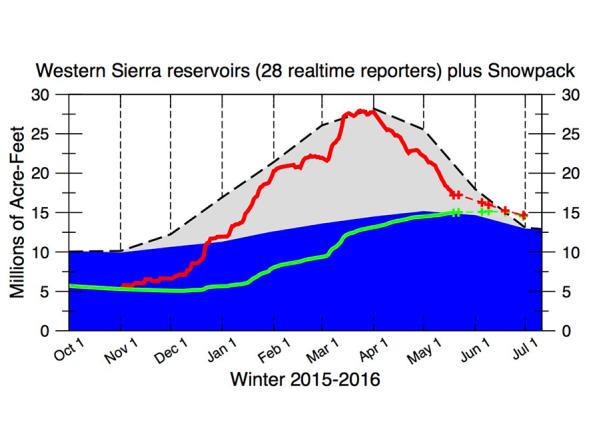
The CNAP Sierra Nevada Water Storage Tracker provides daily reservoir storage and snowpack information. 

SNODAS provides estimates of snow cover, depth, snow water equivalent (SWE) and associated variables to support hydrologic modelling and analysis.

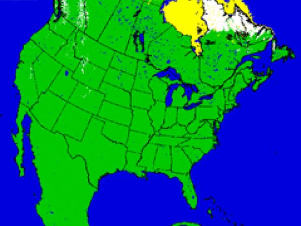
U.S. NIC provides snow maps produced using the Interactive Multisensor Snow and Ice Mapping System (IMS) depicting the extent of daily snow and ice coverage in the Northern Hemisphere.