U.S. flag

An official website of the United States government

DATA & MAPS

Select categories to browse data

Looking to Download Data? The Drought.gov team reformats data from multiple partners into web- and GIS-ready formats, which we use throughout Drought.gov. These data are free for all to download.
Search Results(23)

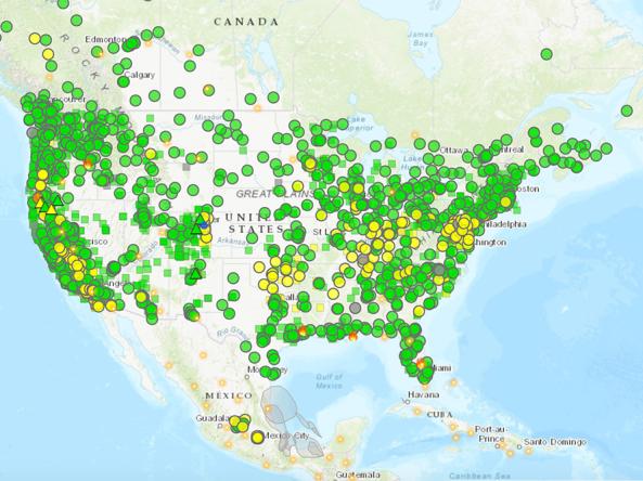
The AirNow Fire and Smoke Map is an interactive map displaying information on ground-level air quality monitors recording fine particulates (PM2.5) from smoke and other sources, as well as informat

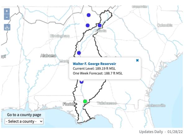
The ACF River Basin Drought and Water Dashboard is a web-based application that allows decision makers to view real-time information on the ACF River Basin all in one place. 

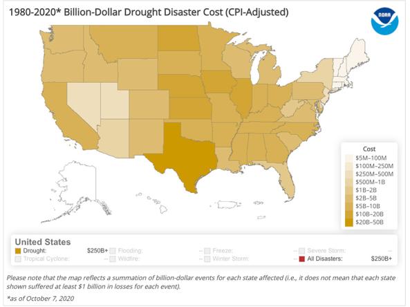
The National Centers for Environmental Information's Billion-Dollar Weather and Climate Disasters shows the weather and climate events that have had the greatest economic impact from 1980

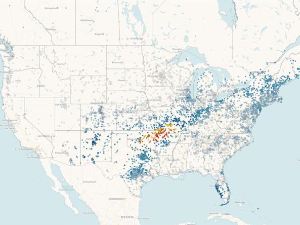
CDC's Social Vulnerability Index uses 15 census variables at tract level to help local officials identify communities that may need support in preparing for hazards or recovering from disaster