U.S. flag

An official website of the United States government

DATA & MAPS

Select categories to browse data

Looking to Download Data? The Drought.gov team reformats data from multiple partners into web- and GIS-ready formats, which we use throughout Drought.gov. These data are free for all to download.
Search Results(21)

The National Agricultural Statistics Service (NASS) conducts hundreds of surveys every year and prepares reports covering virtually every aspect of U.S. agriculture.

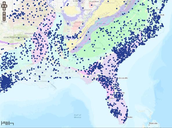
The National Groundwater Monitoring Network (NGWMN) is a compilation of selected groundwater monitoring wells from federal, state, and local groundwater monitoring networks across the nation. 

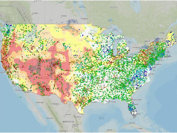
The National Water Dashboard is an interactive map viewer that shows provisional real-time water data from more than 13,000 USGS observation stations in context with weather-related data

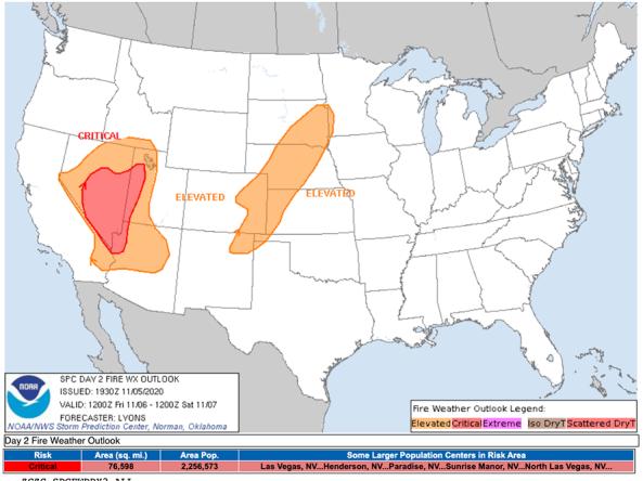
The National Weather Service's Fire Weather Outlooks are intended to delineate areas of the continental U.S.